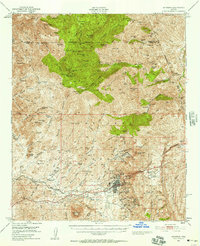
1948 Map of Superior
USGS Topo · Published 1957About this map
The town of Superior anchors this mid-century survey, revealing a landscape defined by the heavy industry of the Magma Copper Co Smelter and the high peaks of the Tonto National Forest. The copper-rich geology is evident through an extensive network of workings, including the Magma Mine, the Silver King Mine, and the Fortuna Mine. Transportation is dominated by the Magma Arizona RR, which served the smelter and connected the remote mining operations to the broader region.
Find a feature on this map
102 named features on this map. Tap any name to fly to it.
Don’t see what you’re looking for? This feature index may not catch every label — zoom into the map to look around manually.
Map Details
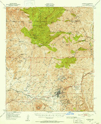
Editions of this 1948 Superior Map
3 editions found

Other maps of this area

1900 · Florence
USGS Topo · 1:125,000

1901 · Globe
USGS Topo · 1:62,500

1902 · Globe
USGS Topo · 1:62,500

1902 · Florence
USGS Topo · 1:125,000

1907 · Roosevelt
USGS Topo · 1:125,000

1909 · Four Peaks
USGS Topo · 1:125,000

1910 · Ray
USGS Topo · 1:62,500

1912 · Roosevelt
USGS Topo · 1:125,000

1922 · Chrysotile
USGS Topo · 1:125,000

1945 · Inspiration
USGS Topo · 1:24,000