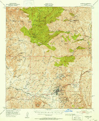
1948 Map of Superior
USGS Topo · Published 1953About this map
Superior stands as the industrial heart of this Arizona landscape, dominated by the sprawling operations of the Magna Copper Co. The copper-driven economy is physically expressed through the presence of a massive Smelter, Slag Dump, and the Magma Arizona Railroad terminating at the townsite. Beyond the urban center, the terrain is dotted with high-elevation mining claims like the Silver King Mine and Apache Mine, reflecting decades of extraction in the foothills of Peachville Mtn.
Find a feature on this map
149 named features on this map. Tap any name to fly to it.
Don’t see what you’re looking for? This feature index may not catch every label — zoom into the map to look around manually.
Map Details
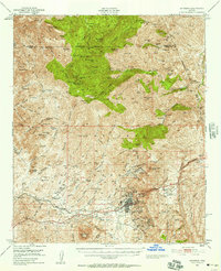
Editions of this 1948 Superior Map
3 editions found

Other maps of this area

1900 · Florence
USGS Topo · 1:125,000

1901 · Globe
USGS Topo · 1:62,500

1902 · Globe
USGS Topo · 1:62,500

1902 · Florence
USGS Topo · 1:125,000

1907 · Roosevelt
USGS Topo · 1:125,000

1909 · Four Peaks
USGS Topo · 1:125,000

1910 · Ray
USGS Topo · 1:62,500

1912 · Roosevelt
USGS Topo · 1:125,000

1922 · Chrysotile
USGS Topo · 1:125,000

1945 · Inspiration
USGS Topo · 1:24,000