Old Maps of Superior, Arizona
Explore 23 old maps of Superior, spanning from 1900 to today. These high-resolution historic maps reveal how streets, neighborhoods, landmarks, and natural features evolved over time — perfect for genealogy, metal detecting, research, and local history exploration.
What you can do with these maps:
- See how Superior changed over time: Compare historical maps to modern-day views to trace roads, homesites, rail lines & more.
- View detailed metadata: Each map includes creators, publishers, year, scale, and archive source.
- Overlay maps with satellite & LiDAR: Visualize the past alongside modern tools to explore terrain & human change.
- Trusted historical sources: Maps sourced from the USGS, Library of Congress, and other archives.
- Access maps your way: View online, download high-res files, or order prints for personal or research use.
Start exploring old maps of Superior to uncover forgotten places, hidden landmarks, and the deep history beneath your feet.
Superior, AZ maps
(23)- 1900 Map of Florence, 1956 Print
 1900 Florence1956 Print · USGSArizona's mining and ranching frontiers are mapped here at the dawn of the century as the Gila River valley begins its growth. Researchers can trace historic family holdings like Arnett Ranch and early industrial camps at Silver King or the Silver Bell Mine.
 - 1902 Map of Florence
 1902 Florence1902 Print · USGSFlorence and the Gila River valley are captured here at the turn of the century during the peak of early Arizona mining and ranching. Researchers can locate vanished settlements and family sites like Silver King, Adamsville, and the Silver Bell Mine.5 unique versions available
 - 1948 Map of Superior, 1953 Print
 1948 Superior1953 Print · USGSSuperior was a thriving copper mining hub in the late 1940s, anchored by massive industrial works and a specialized rail network. Researchers can trace the legacy of the Magma Copper Co, locate the historic Silver King Mine, and find old stops like Hewitt Sta.3 unique versions available
 - 1948 Map of Superior, 1955 Print
 1948 Superior1955 Print · USGSIn the copper-rich corridor of Pinal County after the war, this survey captures the industrial pulse of Superior and its mining district. Genealogists and historians can trace the Magma Arizona RR, local schools, and dozens of mining sites from the Belmont Mine to the Silver King Mine.3 unique versions available
 - 1948 Map of Picketpost Mtn, 1961 Print
 1948 Picketpost Mtn1961 Print · USGSThe Pinal County landscape at the end of the 1940s reveals a rugged territory defined by the Magma Arizona Railroad. Researchers can trace the Old Pinal Townsite, the Thompson Arboretum, and early infrastructure near Gonzales Pass.4 unique versions available
 - 1949 Map of Superior
 1949 Superior1949 Print · USGSArizona's copper country comes alive in this late 1940s survey of the mining district around Superior. Genealogists and industrial historians can trace the Magma Arizona rail line and identify numerous workings like the Silver King Mine and Belmont Mine.2 unique versions available
 - 1949 Map of Picketpost Mtn
 1949 Picketpost Mtn1949 Print · USGSPinal County's desert mining and ranching country comes into focus in the late 1940s as the rail and road networks matured. Genealogists and historians can trace the Old Pinal Townsite, the Magma Arizona Railroad, and the Bum Boy Mine (Aban'd).
 - 1954 Map of Mesa, 1968 Print
 1954 Mesa1968 Print · USGSCentral Arizona in the mid-fifties reveals the rapid growth of the Valley of the Sun alongside the deep-rooted mining districts of the eastern mountains. Genealogists and researchers can trace the expansion of Mesa and Chandler or locate legacy operations at Inspiration Mine and the Magma Arizona railroad.4 unique versions available
 - 1957 Map of Mesa
 1957 Mesa1957 Print · USGSCentral Arizona's desert valleys and high-mountain mining districts come alive in the mid-fifties. Researchers can trace the early layout of Mesa and Phoenix or locate remote sites like Inspiration Mine and Arizona State College.
 - 1958 Map of Mesa
 1958 Mesa1958 Print · USGSMid-century Arizona comes alive in this survey of the valley and high desert, where urban growth begins to transform the landscape. Genealogists and researchers can trace the rail-and-mine economy through Inspiration Mine and old stops like Rittenhouse and Magma.
 - 1960 Map of Mesa
 1960 Mesa1960 Print · USGSThe Salt River Valley and Superstition wilderness are captured here during a era of rapid post-war growth. Researchers can trace the mid-century footprints of Williams AF Base and Arizona State College or locate the deep-rock shafts of the Old Dominion Mine and Magma Mine.
 - 1964 Map of Mesa
 1964 Mesa1964 Print · USGSCentral Arizona in the mid-1960s reveals a landscape defined by rapid desert urbanization and a massive copper mining industry. Genealogists and historians can trace the growth of Phoenix or explore the mining camps and operations at Miami Mine and Magma Mine.
 - 1994 Map of Mesa
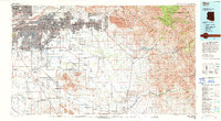 1994 Mesa1994 Print · USGSThe Phoenix and Mesa metropolitan area meets the desert wilderness in the 1990s as urban growth pushes toward the Superstition Mountains. Researchers can trace the path of the Southern Pacific railroad or locate heritage sites like Casa Grande Ruins Nat Mon and Williams Air Force Base.2 unique versions available
 - 2004 Map of Picketpost Mountain, 2007 Print
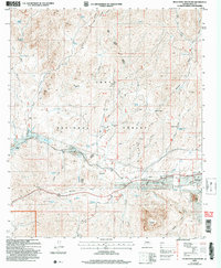 2004 Picketpost Mountain2007 Print · USGSThe Picketpost Mountain region in the early 2000s reveals a rugged Arizona landscape of mining history and early conservation efforts. Trace the early settlement of Old Pinal Townsite, locate the legendary Boyce Thompson Arboretum, and find remote camps like Barnett Camp.
 - 2004 Map of Superior, 2007 Print
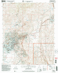 2004 Superior2007 Print · USGSSuperior and the surrounding Pinal County foothills appear at a peak of industrial activity in the early 2000s. Researchers can trace the footprint of major operations like the Magma No 9 Mine and Belmont Mine alongside local landmarks like Peachville and the J I Ranch.
 - 2011 Map of Superior, 2011 Print
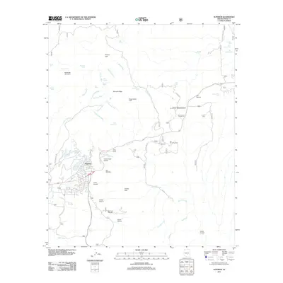 2011 Superior2011 Print · USGSSuperior and the surrounding Pinal County highlands appear here in the early twenty-first century as a landscape defined by mining history and desert peaks. Researchers can trace historic access routes like Magma Mine Rd and locate landmarks such as Apache Leap and the Queen Creek Tunnel.
 - 2011 Map of Picketpost Mountain, 2011 Print
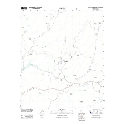 2011 Picketpost Mountain2011 Print · USGSPinal County's high-desert terrain near Superior comes into focus in the early 2000s, showing a landscape shaped by mining access and ranching. Genealogists and historians can trace routes like Bomboy Mine Rd or locate remote outposts such as Barnett Camp and Happy Camp.
 - 2014 Map of Picketpost Mountain, 2014 Print
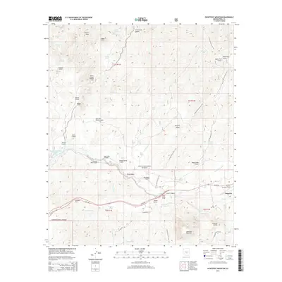 2014 Picketpost Mountain2014 Print · USGSThe town of Superior and the slopes of Picketpost Mountain are captured here in the early twenty-first century, showcasing a transition between industrial mining roots and desert recreation. Researchers can trace the Arizona National Scenic Trail as it passes landmarks like the Arboretum and Hewitt Canyon Natural Arch.
 - 2014 Map of Superior, 2014 Print
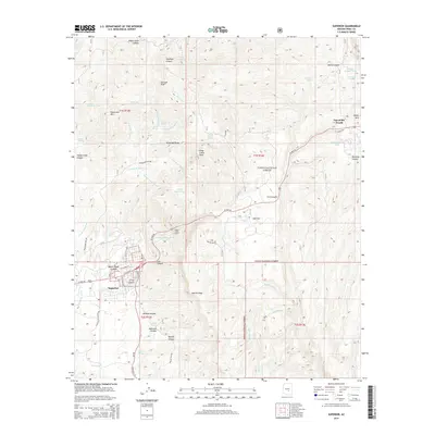 2014 Superior2014 Print · USGSThe copper-mining town of Superior and the heights of Top-of-the-World are shown in detail as they appeared in the early 21st century. Researchers can trace historic industrial routes like Magma Mine Rd and explore the rugged geology of Apache Leap and Oak Flat.
 - 2018 Map of Superior, 2018 Print
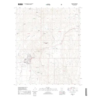 2018 Superior2018 Print · USGSThe mining town of Superior and the surrounding Pinal County wilderness are documented here in the late 2010s. Local researchers can trace the routes of Silver King Mine Rd, locate the Queen Creek Tunnel, and identify landmarks like Apache Leap.
 - 2018 Map of Picketpost Mountain, 2018 Print
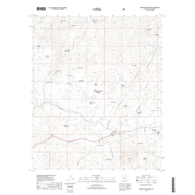 2018 Picketpost Mountain2018 Print · USGSThe copper-mining town of Superior and the surrounding high desert are captured here in the late 2010s. Researchers can trace the winding Arizona National Scenic Trail past landmarks like Picketpost Mtn and the Hewitt Canyon Natural Arch.
 - 2021 Map of Superior, 2021 Print
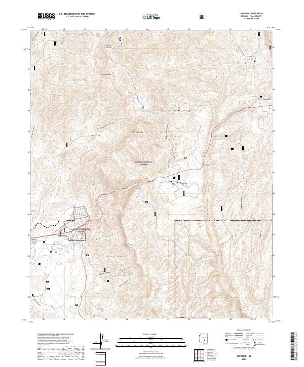 2021 Superior2021 Print · USGSArizona's copper country comes into focus in this contemporary survey of the area around Superior and the heights of Apache Leap. Researchers can trace local landmarks like the Queen Creek Tunnel, Oak Flat, and numerous springs and tanks used by generations of desert ranchers.
 - 2021 Map of Picketpost Mountain, 2021 Print
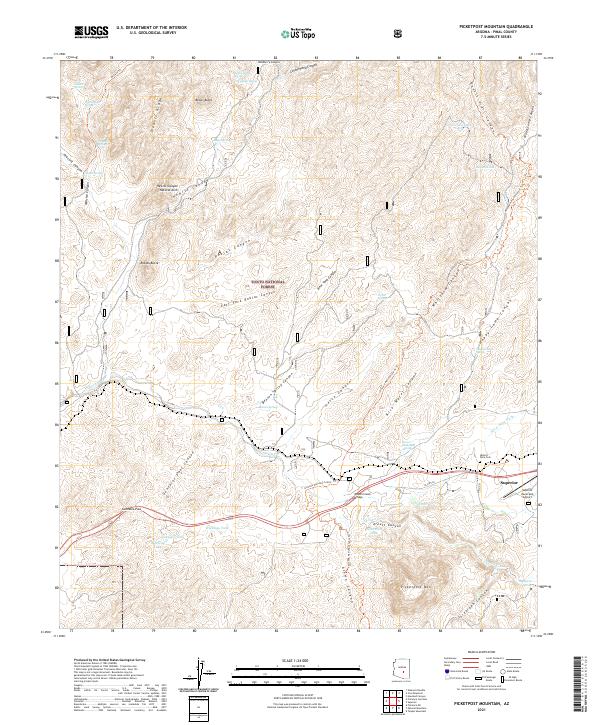 2021 Picketpost Mountain2021 Print · USGSThe mining community of Superior sits at the edge of the Tonto National Forest in the early twenty-first century. Genealogists and hikers can locate the Historic Pinal Cem or trace the path of the Arizona National Scenic Trl past Picketpost Mtn.
End of results
Showing maps 1-23 of 23
Top cities near Superior
Frequently asked questions
- What are the different types of historical maps available for Superior?
- What is the oldest map of Superior?
- Where can I purchase historical maps of Superior for my home or office?
- Where can I download high-res historical maps of Superior?
- Are there historical topographic maps available for Superior?
- Is there historical aerial imagery available for Superior?
- Where are historical maps of Superior sourced from?