
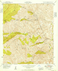
1948 Map of Picketpost Mtn
USGS Topo · Published 1961About this map
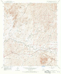
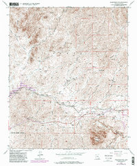
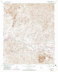
Picketpost Mountain dominates the southern landscape of this 1948 survey, casting its shadow over a region shaped by the mineral wealth of the Tonto National Forest. The Magma Arizona Railroad tracks cut through the central valley, connecting key transit points like Queens Station and Hewitt Station to the broader industrial network. This era shows the intersection of natural preservation and commerce, where the Thompson Arboretum and Picketpost Inn provide a stark contrast to the nearby Millsite and the Y Bum Boy Mine (Aban'd).
Find a feature on this map
31 named features on this map. Tap any name to fly to it.
Don’t see what you’re looking for? This feature index may not catch every label — zoom into the map to look around manually.
Map Details
Editions of this 1948 Picketpost Mtn Map
4 editions found
Other maps of this area

1900 · Florence
USGS Topo · 1:125,000

1902 · Florence
USGS Topo · 1:125,000

1948 · Superior
USGS Topo · 1:62,500

1948 · Superior
USGS Topo · 1:24,000

1948 · Iron Mountain
USGS Topo · 1:24,000
1948 · Haunted Canyon
USGS Topo · 1:24,000

1949 · Superior
USGS Topo · 1:24,000

1949 · Iron Mountain
USGS Topo · 1:24,000
1949 · Haunted Canyon
USGS Topo · 1:24,000

1949 · Picketpost Mtn
USGS Topo · 1:24,000