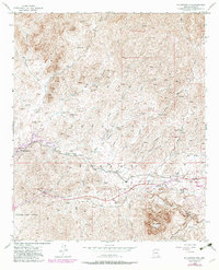
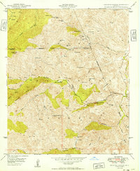
1948 Map of Picketpost Mtn
USGS Topo · Published 1982About this map
The copper mining and desert ranching landscapes of eastern Pinal County are centered here at the foot of Picketpost Mountain. In this mid-century survey, updated through 1981, the burgeoning community of Superior occupies the eastern edge of the sheet, situated near the Old Pinal Townsite. The presence of the Magma Telephone Line and a Landing Strip near the town reflects the industrial infrastructure of the era. The terrain is characterized by complex drainage systems, including Queen Creek and Hewitt Canyon, which cut through the southern reaches of the Tonto National Forest. Regional botanical history is preserved at the Thompson Arboretum, established along the highway west of town. To the north, the map documents early mining activity at the Bomboy Mine and isolated outposts like Barnett Camp and Happy Camp, providing a record of human encroachment into the high desert during the first half of the 20th century.
Find a feature on this map
37 named features on this map. Tap any name to fly to it.
Don’t see what you’re looking for? This feature index may not catch every label — zoom into the map to look around manually.
Map Details
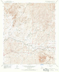
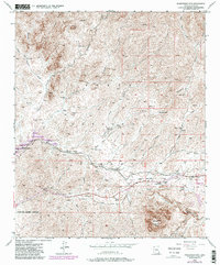
Editions of this 1948 Picketpost Mtn Map
4 editions found
Other maps of this area

1900 · Florence
USGS Topo · 1:125,000

1902 · Florence
USGS Topo · 1:125,000

1948 · Superior
USGS Topo · 1:62,500

1948 · Superior
USGS Topo · 1:24,000

1948 · Iron Mountain
USGS Topo · 1:24,000
1948 · Haunted Canyon
USGS Topo · 1:24,000

1948 · Picketpost Mtn
USGS Topo · 1:24,000

1949 · Superior
USGS Topo · 1:24,000

1949 · Iron Mountain
USGS Topo · 1:24,000
1949 · Haunted Canyon
USGS Topo · 1:24,000