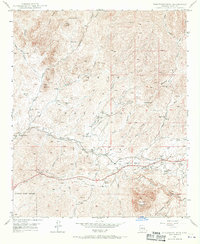
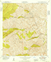
1948 Map of Picketpost Mtn
USGS Topo · Published 1970About this map
Tonto National Forest land dominates this 1948 field-checked landscape, where the rugged topography of the Superstition Mountains meets the industrial push of the Copper Triangle. The presence of the Magma Arizona RR and the Magma Arizona road network indicates the region's reliance on mineral extraction and transport during the post-war era. Notably, the map preserves the location of the Old Pinal Townsite along the banks of Queen Creek, a critical site for genealogists and local historians tracing the late 19th-century silver boom.
Find a feature on this map
33 named features on this map. Tap any name to fly to it.
Don’t see what you’re looking for? This feature index may not catch every label — zoom into the map to look around manually.
Map Details
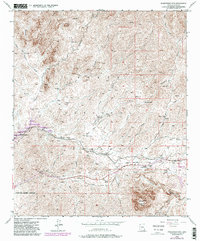
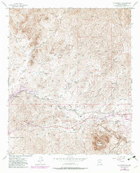
Editions of this 1948 Picketpost Mtn Map
4 editions found
Other maps of this area

1900 · Florence
USGS Topo · 1:125,000

1902 · Florence
USGS Topo · 1:125,000

1948 · Superior
USGS Topo · 1:62,500

1948 · Superior
USGS Topo · 1:24,000

1948 · Iron Mountain
USGS Topo · 1:24,000
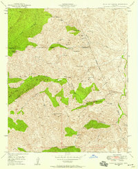
1948 · Haunted Canyon
USGS Topo · 1:24,000

1948 · Picketpost Mtn
USGS Topo · 1:24,000

1949 · Superior
USGS Topo · 1:24,000

1949 · Iron Mountain
USGS Topo · 1:24,000
1949 · Haunted Canyon
USGS Topo · 1:24,000