
1948 Map of Superior
USGS Topo · Published 1955About this map
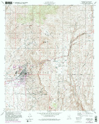
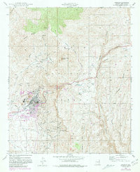
Magma Copper Mines and the town of Superior serve as the industrial hub for this copper-rich region in the late 1940s. The map illustrates a landscape transformed by extraction, featuring a massive Smelter, a Slag Dump, and multiple Tailings Ponds that characterize the town's immediate surroundings. The Magma Arizona RR provides the essential heavy transport link needed for ore movement, while the Superior Airport and a local Golf Course show the community's mid-century development.
Find a feature on this map
47 named features on this map. Tap any name to fly to it.
Don’t see what you’re looking for? This feature index may not catch every label — zoom into the map to look around manually.
Map Details
Editions of this 1948 Superior Map
3 editions found
Other maps of this area

1900 · Florence
USGS Topo · 1:125,000

1901 · Globe
USGS Topo · 1:62,500

1902 · Globe
USGS Topo · 1:62,500

1902 · Florence
USGS Topo · 1:125,000

1910 · Ray
USGS Topo · 1:62,500

1945 · Inspiration
USGS Topo · 1:24,000

1947 · Inspiration
USGS Topo · 1:24,000

1948 · Pinal Ranch
USGS Topo · 1:24,000

1948 · Superior
USGS Topo · 1:62,500

1948 · Iron Mountain
USGS Topo · 1:24,000