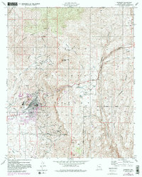
1948 Map of Superior
USGS Topo · Published 1981About this map
Magma Copper Mines and the industrial infrastructure of Superior dominate this postwar landscape, reflecting an era when copper extraction shaped the regional economy. The town site is densely detailed, featuring the Magma Arizona Railroad terminus, a large Smelter, and the Superior Municipal Airport. Beyond the core settlement, the map records numerous inactive operations, including the Silver King Mine and Fortuna Mine, marking the footprint of earlier prospecting efforts in Pinal County.
Find a feature on this map
52 named features on this map. Tap any name to fly to it.
Don’t see what you’re looking for? This feature index may not catch every label — zoom into the map to look around manually.
Map Details
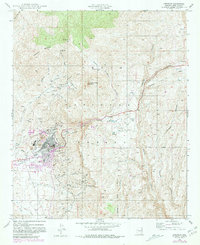
Editions of this 1948 Superior Map
3 editions found
Other maps of this area

1900 · Florence
USGS Topo · 1:125,000

1901 · Globe
USGS Topo · 1:62,500

1902 · Globe
USGS Topo · 1:62,500

1902 · Florence
USGS Topo · 1:125,000

1910 · Ray
USGS Topo · 1:62,500

1945 · Inspiration
USGS Topo · 1:24,000

1947 · Inspiration
USGS Topo · 1:24,000

1948 · Pinal Ranch
USGS Topo · 1:24,000

1948 · Superior
USGS Topo · 1:62,500

1948 · Superior
USGS Topo · 1:24,000