
1949 Map of Picketpost Mtn
USGS Topo · Published 1949About this map
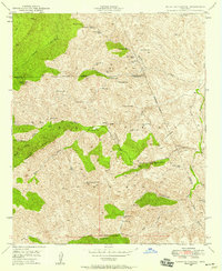
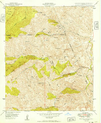
Picketpost Mountain anchors the high desert terrain of the Crook National Forest in this 1949 survey. The map details a landscape transitioning from pioneer-era mining and ranching to mid-century industrial transit, centered on the Magma Arizona Railroad corridor. Along the banks of Queen Creek, the Old Pinal Townsite remains as a marker of the region's earlier silver mining booms, while the Thompson Arboretum reflects a scientific interest in the local flora.
Find a feature on this map
42 named features on this map. Tap any name to fly to it.
Don’t see what you’re looking for? This feature index may not catch every label — zoom into the map to look around manually.
Map Details
Editions of this 1949 Picketpost Mtn Map
This is the sole edition of this map. No revisions or reprints were ever made.
Other maps of this area

1900 · Florence
USGS Topo · 1:125,000

1902 · Florence
USGS Topo · 1:125,000

1948 · Superior
USGS Topo · 1:62,500

1948 · Superior
USGS Topo · 1:24,000

1948 · Iron Mountain
USGS Topo · 1:24,000
1948 · Haunted Canyon
USGS Topo · 1:24,000

1948 · Picketpost Mtn
USGS Topo · 1:24,000

1949 · Superior
USGS Topo · 1:24,000

1949 · Iron Mountain
USGS Topo · 1:24,000
1949 · Haunted Canyon
USGS Topo · 1:24,000