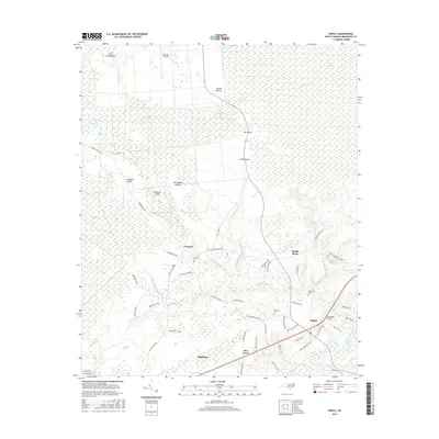
2016 Map of Supply
USGS Topo · Published 2016About this map
The low-lying wetlands of Brunswick County dominate this landscape, where the Green Swamp gives way to a network of blackwater drainages and coastal plains. Near the intersection of modern transit corridors, the community of Supply serves as a local hub, while the Lockwoods Folly River and Middle River provide the primary hydrological structure for the region. The map reveals a transition from dense swampland and islands, such as Caison Islands and Big Island, to more developed areas around Shallotte.
Find a feature on this map
68 named features on this map. Tap any name to fly to it.
Don’t see what you’re looking for? This feature index may not catch every label — zoom into the map to look around manually.
Map Details
Editions of this 2016 Supply Map
This is the sole edition of this map. No revisions or reprints were ever made.
Other maps of this area

1942 · Juniper Creek
USGS Topo · 1:24,000

1943 · Honey Island
USGS Topo · 1:24,000

1943 · Holden Beach
USGS Topo · 1:24,000

1943 · Exum
USGS Topo · 1:24,000

1943 · Bolivia
USGS Topo · 1:24,000

1943 · Lockwoods Folly
USGS Topo · 1:24,000

1943 · Supply
USGS Topo · 1:24,000

1943 · Lewis Swamp
USGS Topo · 1:24,000

1943 · Shallotte
USGS Topo · 1:24,000

1944 · Supply
USGS Topo · 1:31,680