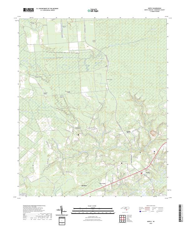
2022 Map of Supply
USGS Topo · Published 2022About this map
Green Swamp dominates the northern reaches of this coastal Carolina landscape, a complex environment of low-lying wetlands and elevated islands. The terrain is defined by a network of “islands” and “bays” that rise just above the water table, including Big Island, Little Island, and Bear Pen Islands. This natural topography dictates the settlement pattern, with the primary communities of Prospect, Supply, and Doe Creek clustered on the more stable ground to the south.
Find a feature on this map
71 named features on this map. Tap any name to fly to it.
Don’t see what you’re looking for? This feature index may not catch every label — zoom into the map to look around manually.
Map Details
Editions of this 2022 Supply Map
This is the sole edition of this map. No revisions or reprints were ever made.
Other maps of this area

1942 · Juniper Creek
USGS Topo · 1:24,000

1943 · Honey Island
USGS Topo · 1:24,000

1943 · Holden Beach
USGS Topo · 1:24,000

1943 · Exum
USGS Topo · 1:24,000

1943 · Bolivia
USGS Topo · 1:24,000

1943 · Lockwoods Folly
USGS Topo · 1:24,000

1943 · Supply
USGS Topo · 1:24,000

1943 · Lewis Swamp
USGS Topo · 1:24,000

1943 · Shallotte
USGS Topo · 1:24,000

1944 · Supply
USGS Topo · 1:31,680