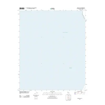
2012 Map of Surf OE W
USGS Topo · Published 2012About this map
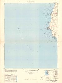
The Pacific Ocean dominates this maritime survey off the coast of Santa Barbara County. Recorded in 2012, the map provides a precise bathymetric and navigational reference for the waters just west of the Surf quadrangle. While the vast majority of the sheet covers open water, a thin sliver of the California coastline appears at the top right, offering a spatial anchor for the offshore environment. This map serves as an essential record of the marine shelf and coastal boundary during the early twenty-first century, documenting the interface between the land and the sea at a scale of 1:24,000.
Find a feature on this map
1 named feature on this map. Tap any name to fly to it.
Don’t see what you’re looking for? This feature index may not catch every label — zoom into the map to look around manually.
Map Details
Editions of this 2012 Surf OE W Map
This is the sole edition of this map. No revisions or reprints were ever made.
Other maps of this area

1905 · Guadalupe
USGS Topo · 1:125,000

1942 · Point Arguello
USGS Topo · 1:62,500

1942 · Guadalupe
USGS Topo · 1:125,000

1942 · Point Sal
USGS Topo · 1:62,500
1947 · Casmalia
USGS Topo · 1:24,000

1947 · Surf
USGS Topo · 1:24,000
1947 · El Tranquillon
USGS Topo · 1:24,000
1947 · Point Arguello
USGS Topo · 1:62,500
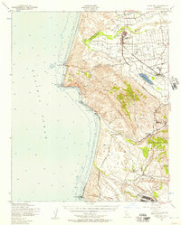
1947 · Point Sal
USGS Topo · 1:62,500
1948 · Point Arguello
USGS Topo · 1:24,000