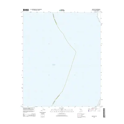
2015 Map of Surf OE W
USGS Topo · Published 2015About this map
Pacific Ocean waters dominate this coastal survey, where the maritime expanse meets the western edge of Santa Barbara County. The map documents a predominantly aquatic environment, highlighting the state's maritime boundary just north of Pt. Arguello. A small segment of the mainland appears in the far northeastern corner, showing the initial path of Coast Rd as it begins to wind through the coastal landscape. This 2015 edition provides a contemporary record of the shoreline before it recedes into the open ocean, serving as a precise spatial reference for the point where the California coast turns sharply inward.
Find a feature on this map
3 named features on this map. Tap any name to fly to it.
Don’t see what you’re looking for? This feature index may not catch every label — zoom into the map to look around manually.
Map Details
Editions of this 2015 Surf OE W Map
This is the sole edition of this map. No revisions or reprints were ever made.
Other maps of this area

1905 · Guadalupe
USGS Topo · 1:125,000

1942 · Point Arguello
USGS Topo · 1:62,500

1942 · Guadalupe
USGS Topo · 1:125,000

1942 · Point Sal
USGS Topo · 1:62,500
1947 · Casmalia
USGS Topo · 1:24,000

1947 · Surf
USGS Topo · 1:24,000
1947 · El Tranquillon
USGS Topo · 1:24,000
1947 · Point Arguello
USGS Topo · 1:62,500
1947 · Point Sal
USGS Topo · 1:62,500
1948 · Point Arguello
USGS Topo · 1:24,000