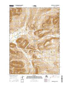
2016 Map of Survey Pass D-6 NW
USGS Topo · Published 2016About this map
Gates of the Arctic National Park encompasses this high-altitude landscape in the Brooks Range as it appeared during the 2016 survey. The terrain is characterized by steep elevation changes and narrow drainage basins, most notably that of Midas Cr, which flows through the southwestern portion of the quadrangle. As a remote wilderness area within the Northwest Arctic, the map shows no roads or permanent structures, focusing instead on the hydrography and detailed contour lines that define the mountainous interior. The survey documents the Public Land Survey System grid across townships t30n r13e and t29n r13e, providing a precise geometric framework for this undeveloped arctic environment.
Find a feature on this map
6 named features on this map. Tap any name to fly to it.
Don’t see what you’re looking for? This feature index may not catch every label — zoom into the map to look around manually.
Map Details
Editions of this 2016 Survey Pass D-6 NW Map
This is the sole edition of this map. No revisions or reprints were ever made.
Other maps of this area

1951 · Survey Pass
USGS Topo · 1:250,000

1951 · Howard Pass
USGS Topo · 1:250,000

1951 · Ambler River
USGS Topo · 1:250,000

1951 · Killik River
USGS Topo · 1:250,000

1956 · Survey Pass
USGS Topo · 1:250,000

1956 · Howard Pass
USGS Topo · 1:250,000

1956 · Killik River
USGS Topo · 1:250,000

1956 · Ambler River
USGS Topo · 1:250,000

1964 · Survey Pass
USGS Topo · 1:250,000

1964 · Ambler River
USGS Topo · 1:250,000