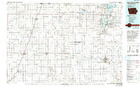
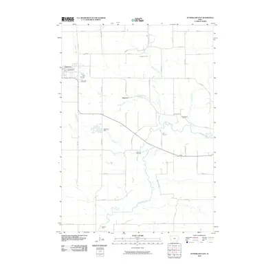
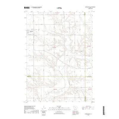
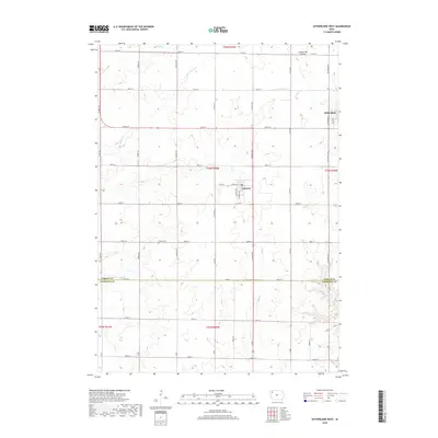
2022 Map of Sutherland West
USGS Topo · Published 2022About this map
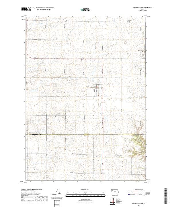
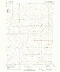
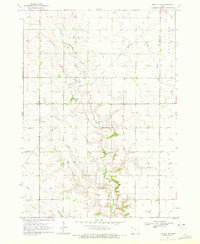
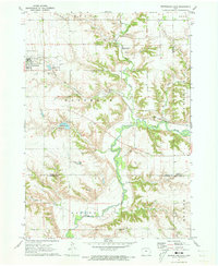
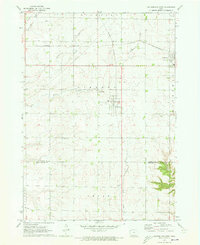
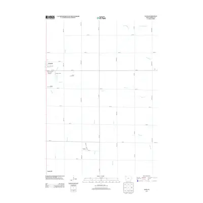
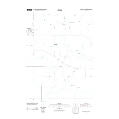
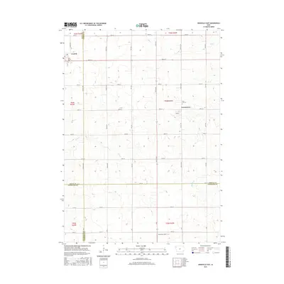
Coteau des Prairies defines the rolling topography of this Northwest Iowa landscape, where the agricultural grid is intersected by the winding paths of Nelson Cr and Dry Run. The survey captures the town of Sutherland at the northeastern edge and the smaller settlement of Calumet to the south, both established along a network of section-line roads and early transportation corridors. Genealogists and local historians can find the Liberty Cem situated along 500th St, a point of interest for tracing family roots in the township. The boundary between O'Brien County and Cherokee County bisects the southern portion of the map, illustrating how administrative lines overlay the natural drainage patterns of Gray Cr and Dog Cr.
Find a feature on this map
48 named features on this map. Tap any name to fly to it.
Don’t see what you’re looking for? This feature index may not catch every label — zoom into the map to look around manually.
Map Details
Editions of this 2022 Sutherland West Map
This is the sole edition of this map. No revisions or reprints were ever made.
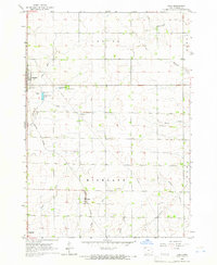
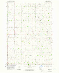
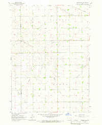
Historical Maps of Sutherland Through Time
43 maps found
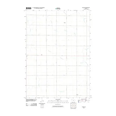
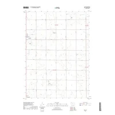
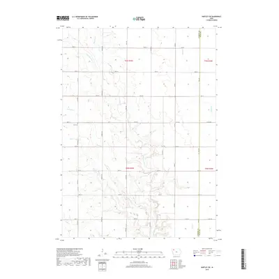
1964 Gaza
O'Brien County, IA
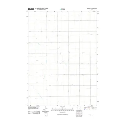
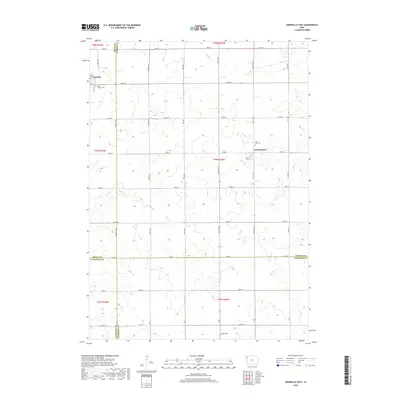
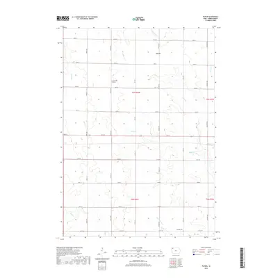
1964 Plessis
O'Brien County, IA
1964 Sheldon SE
O'Brien County, IA
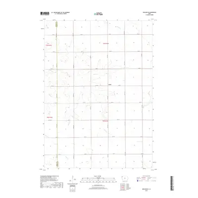
1969 Granville East
O'Brien County, IA
1970 Hartley SW
O'Brien County, IA
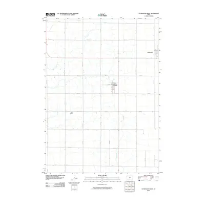
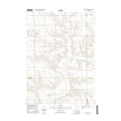
1971 Sutherland East
O'Brien County, IA
1971 Sutherland West
O'Brien County, IA
1985 Iowa Great Lakes
O'Brien County, IA
2010 Gaza
O'Brien County, IA
2010 Granville East
O'Brien County, IA
2010 Hartley SW
O'Brien County, IA
2010 Plessis
O'Brien County, IA
2010 Sheldon SE
O'Brien County, IA
2010 Sutherland East
O'Brien County, IA
2010 Sutherland West
O'Brien County, IA
2013 Gaza
O'Brien County, IA
2013 Granville East
O'Brien County, IA
2013 Hartley SW
O'Brien County, IA
2013 Plessis
O'Brien County, IA
2013 Sheldon SE
O'Brien County, IA
2013 Sutherland East
O'Brien County, IA
2013 Sutherland West
O'Brien County, IA
2015 Gaza
O'Brien County, IA
2015 Granville East
O'Brien County, IA
2015 Hartley SW
O'Brien County, IA
2015 Plessis
O'Brien County, IA
2015 Sheldon SE
O'Brien County, IA
2015 Sutherland East
O'Brien County, IA
2015 Sutherland West
O'Brien County, IA
2018 Gaza
O'Brien County, IA
2018 Granville East
O'Brien County, IA
2018 Hartley SW
O'Brien County, IA
2018 Plessis
O'Brien County, IA
2018 Sheldon SE
O'Brien County, IA
2018 Sutherland East
O'Brien County, IA
2018 Sutherland West
O'Brien County, IA
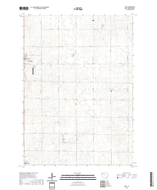
2022 Gaza
O'Brien County, IA
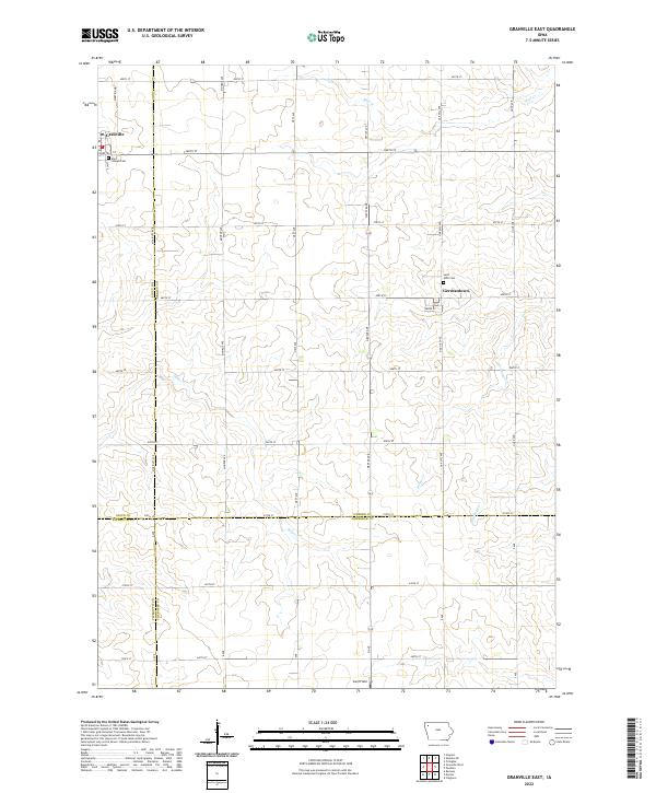
2022 Granville East
O'Brien County, IA
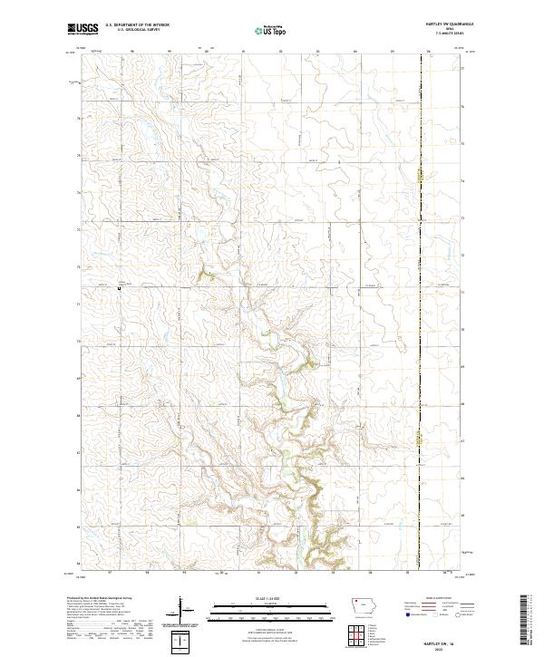
2022 Hartley SW
O'Brien County, IA
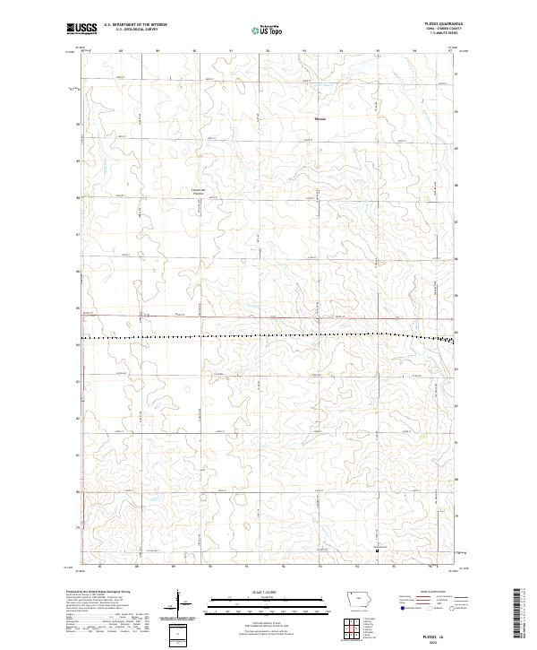
2022 Plessis
O'Brien County, IA
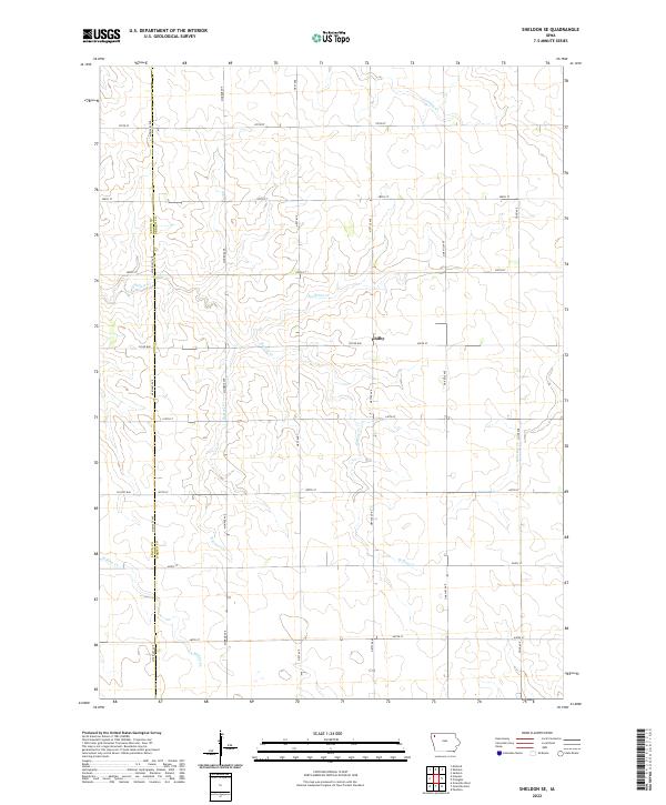
2022 Sheldon SE
O'Brien County, IA
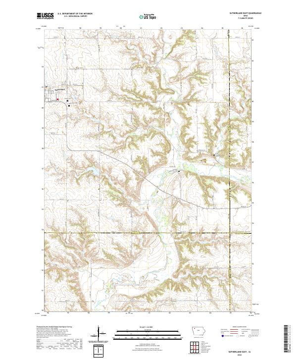
2022 Sutherland East
O'Brien County, IA
2022 Sutherland West
O'Brien County, IA