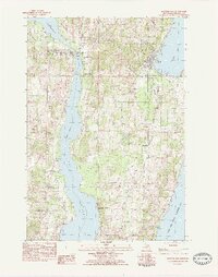
1983 Map of Suttons Bay
USGS Topo · Published 1984About this map
Suttons Bay serves as the focal point of this coastal landscape, situated along the West Arm Grand Traverse Bay. The area is defined by the narrow strip of land separating the bay from the expansive waters of Lake Leelanau, connected by the Leelanau Narrows Access Site. This geography dictated a linear development of settlements, from the village of Lake Leelanau in the northwest to Bingham and Leelanau Shores in the south.
Find a feature on this map
43 named features on this map. Tap any name to fly to it.
Don’t see what you’re looking for? This feature index may not catch every label — zoom into the map to look around manually.
Map Details
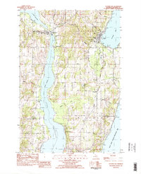
Editions of this 1983 Suttons Bay Map
2 editions found
Other maps of this area

1954 · Traverse City
USGS Topo · 1:250,000

1955 · Cheboygan
USGS Topo · 1:250,000

1957 · Traverse City
USGS Topo · 1:62,500

1957 · Northport
USGS Topo · 1:62,500

1957 · Maple City
USGS Topo · 1:62,500

1958 · Cheboygan
USGS Topo · 1:250,000

1958 · Traverse City
USGS Topo · 1:250,000

1983 · Omena
USGS Topo · 1:24,000

1983 · Maple City
USGS Topo · 1:24,000

1983 · Traverse City SE
USGS Topo · 1:25,000