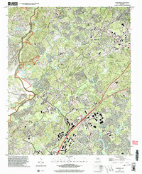
2024 Map of Suwanee
USGS Topo · Published 2024About this map
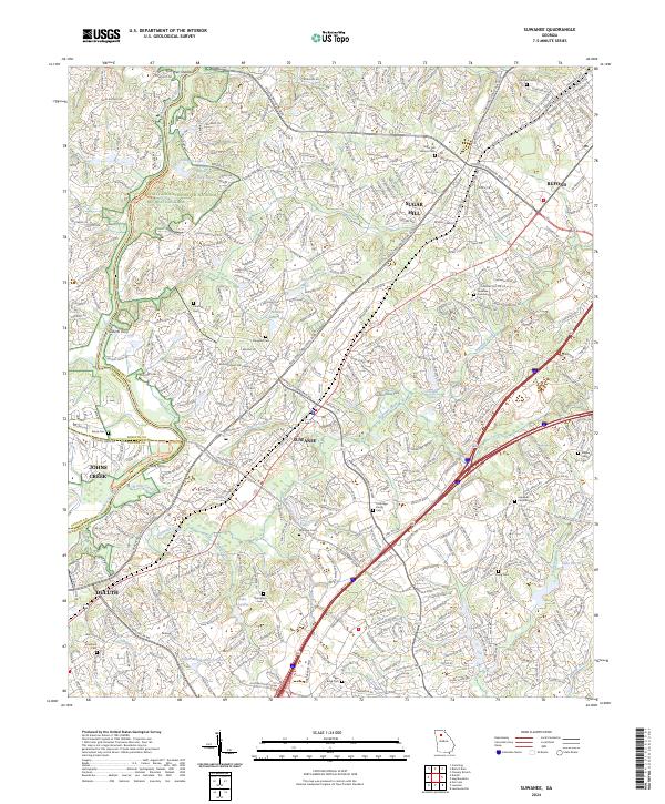
The Chattahoochee River forms the natural boundary between Gwinnett and Forsyth counties on this 2024 map, a landscape defined by the suburban expansion of Suwanee, Sugar Hill, and Buford. Despite the modern footprint of Peachtree Industrial Blvd and the dense network of residential drives, the map preserves the locations of numerous family and church burial grounds essential for local genealogy. Notable sites include the Sugar Hill Historic Cem, Hopewell Christian Cem, and the Lockridge Family Cem.
Find a feature on this map
83 named features on this map. Tap any name to fly to it.
Don’t see what you’re looking for? This feature index may not catch every label — zoom into the map to look around manually.
Map Details
Editions of this 2024 Suwanee Map
This is the sole edition of this map. No revisions or reprints were ever made.
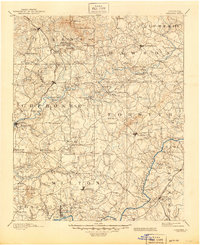
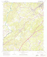
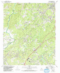
Historical Maps of Arbor Trace Through Time
6 maps found