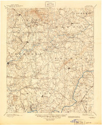
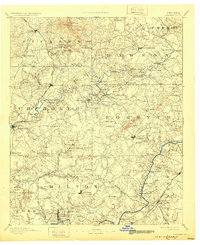
1894 Map of Suwanee
USGS Topo · Published 1945About this map
The Etowah River carves through the heart of north Georgia, serving as a vital corridor for industry and transport at the end of the 19th century. This landscape is defined by its extraction history, prominently featuring the Kin Mori Gold Mine and the Franklin Gold Mine near Creighton, alongside the Marble Hill quarries in the north. The reliance on river crossings is evident through a dense network of ferries such as Chamlee Ferry, Fowler Ferry, and Roachs Ferry, which connected rural outposts before the widespread construction of modern bridges. Industrial activity is further marked by numerous milling operations, including June Mills and Rudicil Mill, which supported the surrounding agricultural settlements.
Find a feature on this map
144 named features on this map. Tap any name to fly to it.
Don’t see what you’re looking for? This feature index may not catch every label — zoom into the map to look around manually.
Map Details
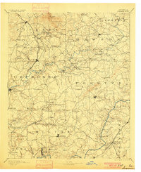
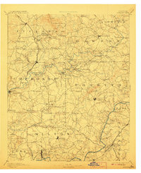
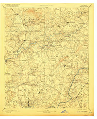
Editions of this 1894 Suwanee Map
6 editions found

Other maps of this area

1886 · Dalton
USGS Topo · 1:125,000

1886 · Dahlonega
USGS Topo · 1:125,000

1888 · Ellijay
USGS Topo · 1:125,000

1888 · Atlanta
USGS Topo · 1:125,000

1890 · Suwanee
USGS Topo · 1:125,000

1890 · Cartersville
USGS Topo · 1:125,000

1890 · Atlanta
USGS Topo · 1:125,000

1891 · Marietta
USGS Topo · 1:125,000

1891 · Gainesville
USGS Topo · 1:125,000

1891 · Cartersville
USGS Topo · 1:125,000