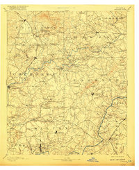
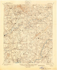
1894 Map of Suwanee
USGS Topo · Published 1917About this map
Chattahoochee River crossings and gold mining sites define this late 19th-century landscape across North Georgia. The terrain transitions from the marble quarries near Tate and Marble Hill in the north down toward the expanding settlements of Alpharetta and Roswell. A complex network of river transport is evident through numerous family-named crossings such as Gilstrap Ferry, Shadburn Ferry, and Abbot Ferry, which served local commerce before modern bridging.
Find a feature on this map
151 named features on this map. Tap any name to fly to it.
Don’t see what you’re looking for? This feature index may not catch every label — zoom into the map to look around manually.
Map Details
Editions of this 1894 Suwanee Map
6 editions found

Other maps of this area

1886 · Dalton
USGS Topo · 1:125,000

1886 · Dahlonega
USGS Topo · 1:125,000

1888 · Ellijay
USGS Topo · 1:125,000

1888 · Atlanta
USGS Topo · 1:125,000

1890 · Suwanee
USGS Topo · 1:125,000

1890 · Cartersville
USGS Topo · 1:125,000

1890 · Atlanta
USGS Topo · 1:125,000

1891 · Marietta
USGS Topo · 1:125,000

1891 · Gainesville
USGS Topo · 1:125,000

1891 · Cartersville
USGS Topo · 1:125,000