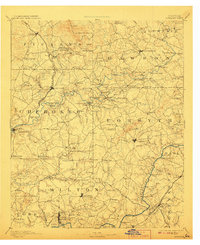
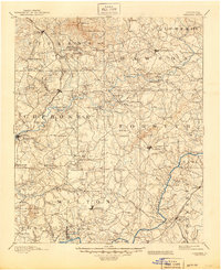
1894 Map of Suwanee
USGS Topo · Published 1907About this map
Gold mining and the emerging marble industry define this North Georgia landscape, captured during late 19th-century surveys. Extraction efforts are concentrated in the north, marked by the Kin Mori Gold Mine and Franklin Gold Mine, while the quarries at Marble Hill and Tate highlight the region's geologic wealth. The Marietta And North Georgia Railroad snakes through the western terrain, providing essential transport for these resources through settlements like Ball Ground and Nelson.
Find a feature on this map
153 named features on this map. Tap any name to fly to it.
Don’t see what you’re looking for? This feature index may not catch every label — zoom into the map to look around manually.
Map Details
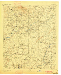
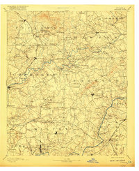
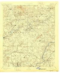
Editions of this 1894 Suwanee Map
6 editions found

Other maps of this area

1886 · Dalton
USGS Topo · 1:125,000

1886 · Dahlonega
USGS Topo · 1:125,000

1888 · Ellijay
USGS Topo · 1:125,000

1888 · Atlanta
USGS Topo · 1:125,000

1890 · Suwanee
USGS Topo · 1:125,000

1890 · Cartersville
USGS Topo · 1:125,000

1890 · Atlanta
USGS Topo · 1:125,000

1891 · Marietta
USGS Topo · 1:125,000

1891 · Gainesville
USGS Topo · 1:125,000

1891 · Cartersville
USGS Topo · 1:125,000