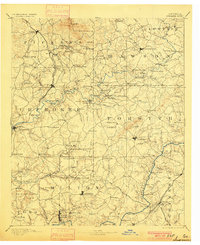
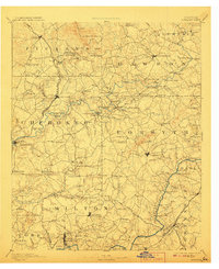
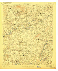
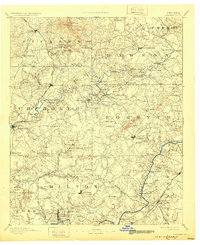
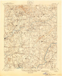
1894 Map of Suwanee
USGS Topo · Published 1900About this map
The Etowah River carves through the heart of this landscape, its banks dotted with vital river-crossings like Gilmer Ferry and Chamlee Ferry that connected North Georgia's rural communities before modern bridges. This late nineteenth-century environment was defined by industrial extraction, notably the marble Quarries around Tate and Marble Hill, and the search for gold at the Franklin Gold Mine and Kin Mori Gold Mine. The North Georgia Railroad and Atlanta and Danville Railroad provided the necessary lifelines for these mineral-rich regions, moving goods from settlements such as Ball Ground and Nelson. Local commerce was rooted in small hubs like Northeut Store and the mills at Lebanon Mills, reflecting a time when the region was a network of family farms, mines, and isolated rural outposts such as Ophir and Free Homes.
Find a feature on this map
170 named features on this map. Tap any name to fly to it.
Don’t see what you’re looking for? This feature index may not catch every label — zoom into the map to look around manually.
Map Details
Editions of this 1894 Suwanee Map
6 editions found

Historical Maps of Sandy Springs Through Time
10 maps found

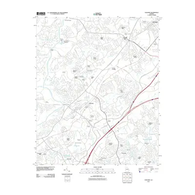
1890 Suwanee
Gwinnett County, GA
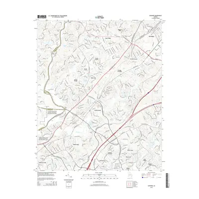
1894 Suwanee
Gwinnett County, GA
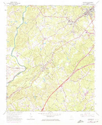
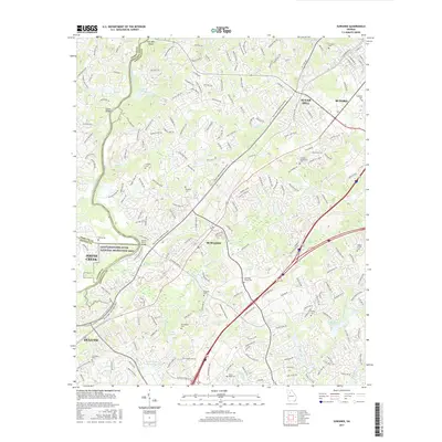
1964 Suwanee
Gwinnett County, GA
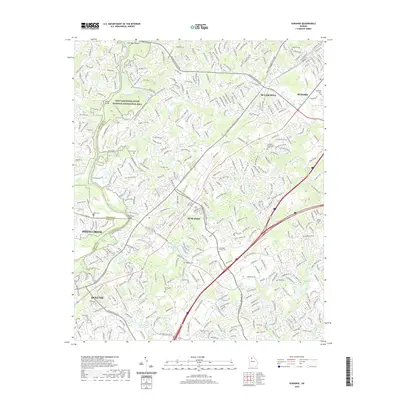
1992 Suwanee
Gwinnett County, GA
1999 Suwanee
Gwinnett County, GA
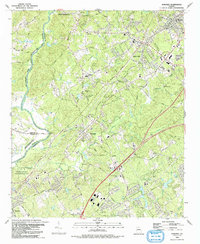
2011 Suwanee
Gwinnett County, GA
2014 Suwanee
Gwinnett County, GA
2017 Suwanee
Gwinnett County, GA
2020 Suwanee
Gwinnett County, GA
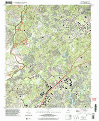
2024 Suwanee
Gwinnett County, GA