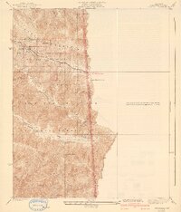
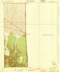
1941 Map of Swarthout
USGS Topo · Published 1941About this map
The San Andreas fault line carves a dramatic visual rift through this high mountain survey, defining the Rift Zone where the Big Pines Camp Area was established. This terrain, documented by R.W. Burchard in the mid-1930s, reveals a landscape utilized for both scientific observation and early 20th-century mountain recreation. The presence of the Smithsonian Observatory atop Table Mountain highlights the area's significance for astronomical research, while facilities like Tennis Courts and multiple campsites indicate the burgeoning development of the Angeles National Forest as a destination. The map follows the rugged crests of the San Gabriel Mountains, from the heights of Pine Mtn down into the drainages of Fish Fork and Prairie Fork. Scattered outposts like the Big Pines Guard Sta and Junior Republic Camp reflect the organized management and institutional presence in this wilderness corridor.
Find a feature on this map
27 named features on this map. Tap any name to fly to it.
Don’t see what you’re looking for? This feature index may not catch every label — zoom into the map to look around manually.
Map Details
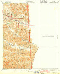
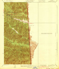
Editions of this 1941 Swarthout Map
3 editions found
Other maps of this area

1901 · Southern California Sheet No. 1
USGS Topo · 1:250,000

1903 · San Antonio
USGS Topo · 1:62,500

1904 · Southern California Sheet No. 1
USGS Topo · 1:250,000

1934 · Mescal Creek
USGS Topo · 1:24,000
1934 · Camp Baldy
USGS Topo · 1:24,000
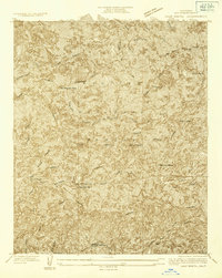
1934 · Camp Bonita
USGS Topo · 1:24,000
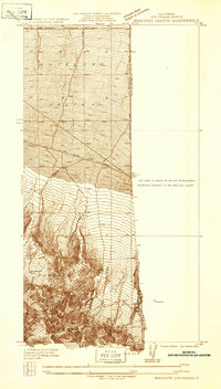
1934 · Boneyard Canyon
USGS Topo · 1:24,000
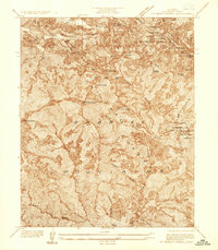
1936 · Mt. Baden-Powell
USGS Topo · 1:24,000
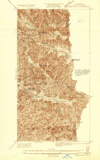
1936 · Swarthout
USGS Topo · 1:24,000
1939 · Boneyard Canyon
USGS Topo · 1:24,000