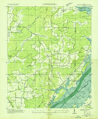
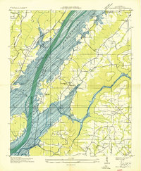
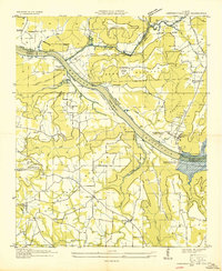
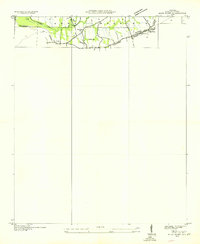
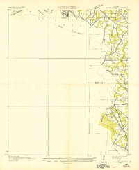
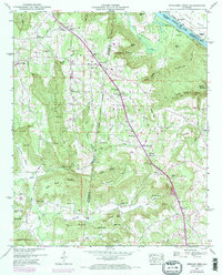
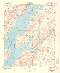
1936 Map of Swearengin
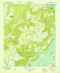
USGS Topo · Published 1936This historical map portrays the area of Swearengin in 1936, primarily covering Marshall County as well as portions of Jackson County. Featuring a scale of 1:24000, this map provides a highly detailed snapshot of the terrain, roads, buildings, counties, and historical landmarks in the Swearengin region at the time. Published in 1936, it is the sole known edition of this map.
Find a feature on this map
65 named features on this map. Tap any name to fly to it.
Don’t see what you’re looking for? This feature index may not catch every label — zoom into the map to look around manually.
Map Details
Editions of this 1936 Swearengin Map
This is the sole edition of this map. No revisions or reprints were ever made.
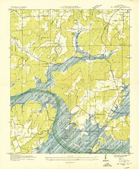
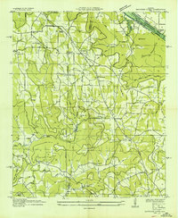
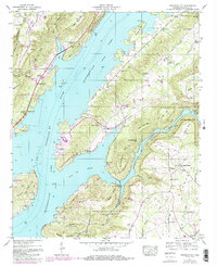
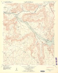
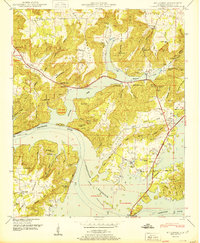
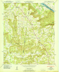
Historical Maps of Jackson County Through Time
18 maps found
1936 Columbus City
Marshall County, AL
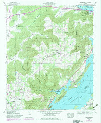
1936 Guntersville Dam
Marshall County, AL
1936 High Point
Marshall County, AL
1936 Mountainboro
Marshall County, AL
1936 Mt Carmel
Marshall County, AL
1936 Newsome Sinks
Marshall County, AL
1936 Swearengin
Marshall County, AL
1947 Columbus City
Marshall County, AL
1947 Newsome Sinks
Marshall County, AL
1947 Swearengin
Marshall County, AL
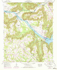
1948 Guntersville Dam
Marshall County, AL
1948 Mt Carmel
Marshall County, AL
1949 Columbus City
Marshall County, AL
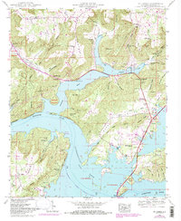
1950 Guntersville Dam
Marshall County, AL
1950 Mt Carmel
Marshall County, AL
1950 Newsome Sinks
Marshall County, AL
1950 Swearengin
Marshall County, AL

1984 Mt Carmel
Marshall County, AL