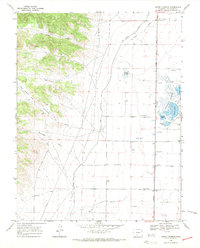
1967 Map of Swede Corners
USGS Topo · Published 1971About this map
Swede Corners serves as the focal point for this 1960s topographic study of the San Luis Valley's hydraulic landscape. The eastern half of the map is defined by an intricate network of wetlands and water management, anchored by the Russell Lakes system, including Davey Lake, Trites Lake, and Johnson Lake. The presence of a Fish Hatchery and numerous flowing wells suggests the importance of artesian water and ecological conservation in this high-altitude basin.
Find a feature on this map
17 named features on this map. Tap any name to fly to it.
Don’t see what you’re looking for? This feature index may not catch every label — zoom into the map to look around manually.
Map Details
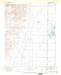
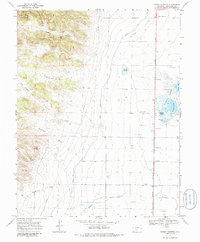
Editions of this 1967 Swede Corners Map
3 editions found
Other maps of this area

1915 · Del Norte
USGS Topo · 1:125,000

1917 · Del Norte
USGS Topo · 1:125,000

1945 · Durango
USGS Topo · 1:250,000

1953 · Durango
USGS Topo · 1:250,000

1954 · Durango
USGS Topo · 1:250,000

1956 · Montrose
USGS Topo · 1:250,000

1959 · Montrose
USGS Topo · 1:250,000

1960 · Montrose
USGS Topo · 1:250,000

1961 · Durango
USGS Topo · 1:250,000

1963 · Durango
USGS Topo · 1:250,000