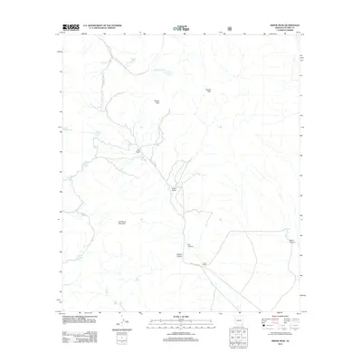
2012 Map of Swede Peak
USGS Topo · Published 2012About this map
Swede Peak and Sunset Peak dominate the high terrain of this Cochise County landscape, where the drainage network reveals a reliance on scattered water sources. The map Detail centers on the rugged topography between Limestone Mountain and the winding course of Cottonwood Cr. Human presence is marked by isolated landmarks such as Krentz Ranch and a network of named stock tanks and springs including Cottonwood Corral Spring and High Lonesome Spring.
Find a feature on this map
24 named features on this map. Tap any name to fly to it.
Don’t see what you’re looking for? This feature index may not catch every label — zoom into the map to look around manually.
Map Details
Editions of this 2012 Swede Peak Map
This is the sole edition of this map. No revisions or reprints were ever made.
Other maps of this area

1917 · Chiricahua
USGS Topo · 1:125,000

1919 · Chiricahua
USGS Topo · 1:125,000

1926 · Rodeo
USGS Topo · 1:62,500

1926 · Rucker
USGS Topo · 1:62,500

1926 · Pedregosa
USGS Topo · 1:62,500

1940 · Apache
USGS Topo · 1:62,500

1955 · Douglas
USGS Topo · 1:250,000

1958 · Chiricahua Peak
USGS Topo · 1:62,500

1958 · Apache
USGS Topo · 1:62,500
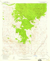
1958 · Pedregosa Mountains
USGS Topo · 1:62,500