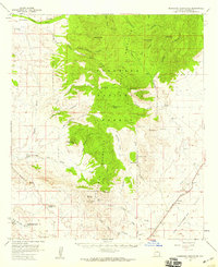
1958 Map of Pedregosa Mountains
USGS Topo · Published 1959About this map
The Chiricahua Mountains and the Pedregosa Mountains dominate this high-desert landscape in Cochise County, revealing a mid-century network of cattle ranches and rugged watersheds. Ranching life is documented through named properties like the J Bar A Ranch, Joe Glenn Ranch, and Lamberson and Riggs Ranch, many situated along seasonal drainages such as Rucker Canyon and Big Bend. The map captures the infrastructure of the San Bernardino Valley, where the Southern Pacific railroad passes near the settlement of Bernardino.
Find a feature on this map
61 named features on this map. Tap any name to fly to it.
Don’t see what you’re looking for? This feature index may not catch every label — zoom into the map to look around manually.
Map Details
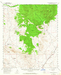
Editions of this 1958 Pedregosa Mountains Map
2 editions found
Other maps of this area

1914 · Douglas
USGS Topo · 1:62,500

1916 · Pearce
USGS Topo · 1:125,000

1916 · Douglas
USGS Topo · 1:125,000

1917 · Chiricahua
USGS Topo · 1:125,000

1919 · Douglas
USGS Topo · 1:125,000

1919 · Perilla
USGS Topo · 1:125,000

1919 · Chiricahua
USGS Topo · 1:125,000

1922 · Swisshelm
USGS Topo · 1:62,500

1922 · McDonald
USGS Topo · 1:62,500

1925 · Douglas
USGS Topo · 1:62,500