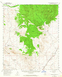
1958 Map of Pedregosa Mountains
USGS Topo · Published 1964About this map
Coronado National Forest dominates the high ground of this 1958 survey, where the peaks of the Pedregosa Mountains overlook a landscape defined by cattle ranching and early transportation corridors. The map reveals a network of family-held properties like the Lamberson and Riggs Ranch, Joe Glenn Ranch, and Bar Boot Ranch, indicating the endurance of large-scale grazing in the high desert. In the southern flats, the Southern Pacific railroad cuts through the San Bernardino Valley near the settlement of Bernardino, while the Rucker School and nearby Rucker Cemetery serve as the civic and social anchors for the remote families of the Rucker Canyon district. The presence of an Airway Beacon and a modern Pipeline reflect the mid-century industrial utility passing through this otherwise traditional western landscape.
Find a feature on this map
66 named features on this map. Tap any name to fly to it.
Don’t see what you’re looking for? This feature index may not catch every label — zoom into the map to look around manually.
Map Details
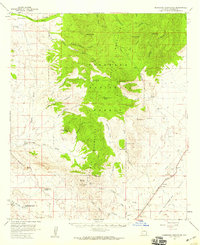
Editions of this 1958 Pedregosa Mountains Map
2 editions found
Other maps of this area

1914 · Douglas
USGS Topo · 1:62,500

1916 · Pearce
USGS Topo · 1:125,000

1916 · Douglas
USGS Topo · 1:125,000

1917 · Chiricahua
USGS Topo · 1:125,000

1919 · Douglas
USGS Topo · 1:125,000

1919 · Perilla
USGS Topo · 1:125,000

1919 · Chiricahua
USGS Topo · 1:125,000

1922 · Swisshelm
USGS Topo · 1:62,500

1922 · McDonald
USGS Topo · 1:62,500

1925 · Douglas
USGS Topo · 1:62,500