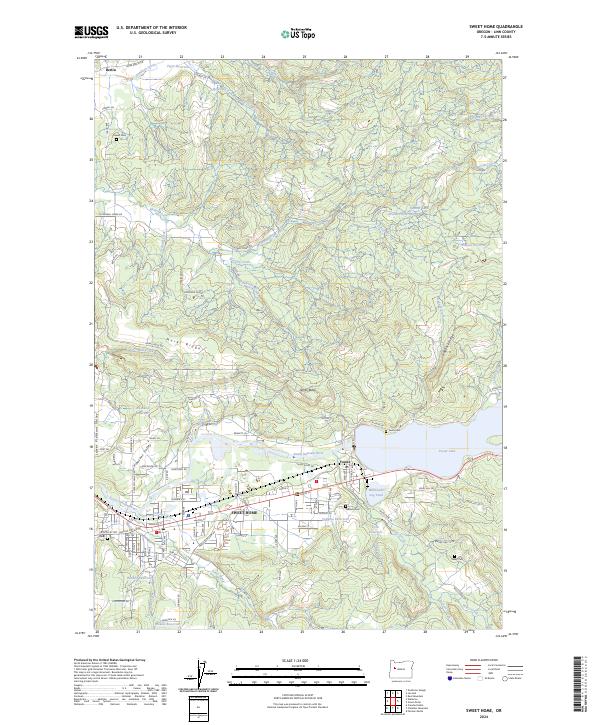
2024 Map of Sweet Home
USGS Topo · Published 2024About this map
Sweet Home serves as the focal point for this section of Linn County, situated along the South Santiam River where the valley floor meets the rising timberlands. The landscape is characterized by the convergence of several major drainages, including Wiley Creek and Ames Creek, which flow through the settlement. To the east, the Foster Lake reservoir and the Willamette Log Pond reflect the region’s deep ties to the timber industry and water management. High ground is defined by Marks Ridge and North Butte, while the surrounding rural areas like Berlin and Foster are dotted with small family burial grounds, such as Powell Cem and Lewis Cem. The extensive network of secondary roads, including McDowell Creek Dr and Riggs Hill Rd, provides a clear view of how residential growth has navigated the varied terrain of Pleasant Valley and the adjacent foothills.
Find a feature on this map
88 named features on this map. Tap any name to fly to it.
Don’t see what you’re looking for? This feature index may not catch every label — zoom into the map to look around manually.
Map Details
Editions of this 2024 Sweet Home Map
This is the sole edition of this map. No revisions or reprints were ever made.
Other maps of this area

1921 · Brownsville
USGS Topo · 1:62,500

1921 · Lebanon
USGS Topo · 1:62,500

1922 · Lebanon
USGS Topo · 1:48,000

1924 · Lebanon
USGS Topo · 1:62,500

1940 · Lebanon
USGS Topo · 1:62,500

1944 · Lebanon
USGS Topo · 1:62,500

1950 · Brownsville
USGS Topo · 1:62,500

1951 · Sweet Home
USGS Topo · 1:62,500

1951 · Snow Peak
USGS Topo · 1:62,500

1952 · Brownsville
USGS Topo · 1:62,500