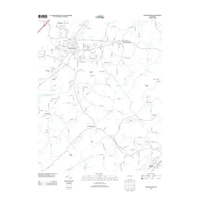
2013 Map of Sweetwater
USGS Topo · Published 2013About this map
The city of Sweetwater serves as the focal point of this East Tennessee landscape, situated along the corridor formed by US Hwy 11 and Interstate 75. The map documents a blend of established residential neighborhoods and outlying communities like Christianburg and Sherril Heights. The drainage patterns are well-defined by numerous waterways, including the winding Sweetwater Creek and the southern Oostanaula Creek, which feed into local reservoirs such as the Sweetwater Creek Watershed Number One Reservoir. Local topography is characterized by distinctive elevations like Blackoak Ridge and the Hiwassee Knobs, while the presence of Monroe County Airport and Vintage Field Airport indicates the area's importance to regional aviation. Natural water sources are prominently noted throughout the quadrangle, with named features such as Cannon Spring and Dugan Spring highlighting the hydrogeology of the Tennessee Valley.
Find a feature on this map
39 named features on this map. Tap any name to fly to it.
Don’t see what you’re looking for? This feature index may not catch every label — zoom into the map to look around manually.
Map Details
Editions of this 2013 Sweetwater Map
This is the sole edition of this map. No revisions or reprints were ever made.
Other maps of this area

1886 · Cleveland
USGS Topo · 1:125,000

1887 · Kingston
USGS Topo · 1:125,000

1891 · Kingston
USGS Topo · 1:125,000

1892 · Cleveland
USGS Topo · 1:125,000

1893 · Murphy
USGS Topo · 1:125,000

1893 · Kingston
USGS Topo · 1:125,000

1895 · Cleveland
USGS Topo · 1:125,000

1895 · Loudon
USGS Topo · 1:125,000

1901 · Cleveland
USGS Topo · 1:125,000

1914 · Murphy
USGS Topo · 1:125,000