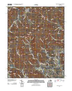
2010 Map of Swift Run Gap
USGS Topo · Published 2010About this map
Shenandoah National Park defines the western heights of this region, where the Skyline Drive corridor offers numerous vantage points such as Beldor Hollow Overlook and Sandy Bottom Overlook. Below the ridgeline, the landscape transitions into a network of hollows and small communities including Beldor, Sandy Bottom, and Bacon Hollow. These settlements are connected by the winding paths of the Roach River and Swift Run, which drain the eastern slopes toward the Piedmont.
Find a feature on this map
105 named features on this map. Tap any name to fly to it.
Don’t see what you’re looking for? This feature index may not catch every label — zoom into the map to look around manually.
Map Details
Editions of this 2010 Swift Run Gap Map
This is the sole edition of this map. No revisions or reprints were ever made.
Other maps of this area

1892 · Gordonsville
USGS Topo · 1:125,000

1892 · Harrisonburg
USGS Topo · 1:125,000

1930 · Madison
USGS Topo · 1:48,000

1931 · University
USGS Topo · 1:62,500

1933 · Madison
USGS Topo · 1:62,500

1935 · Charlottesville
USGS Topo · 1:62,500

1935 · University
USGS Topo · 1:62,500

1937 · Elkton
USGS Topo · 1:62,500

1939 · Charlottesville
USGS Topo · 1:62,500

1949 · Charlottesville
USGS Topo · 1:250,000