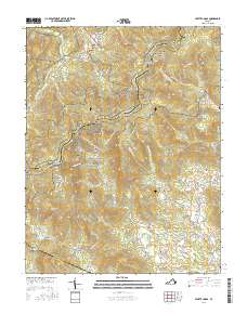
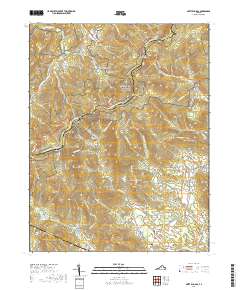
Loading...
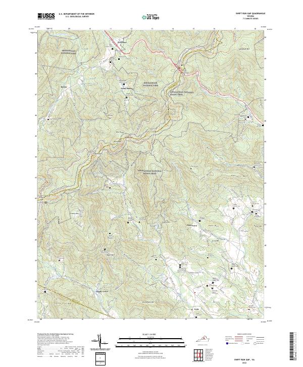
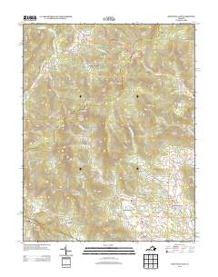
Loading map...2022 Map of Swift Run Gap
USGS Topo · Published 2022About this map
Shenandoah National Park and the high ridges of the Blue Ridge dominate this landscape, where the Appalachian National Scenic Trail and Skyline Drive wind through historic mountain gaps. The map reveals a dense concentration of family burial grounds and small community centers located in the deep hollows and along the eastern slopes, particularly in Bacon Hollow and near the settlement of Dyke.
Find a feature on this map
88 named features on this map. Tap any name to fly to it.
Don’t see what you’re looking for? This feature index may not catch every label — zoom into the map to look around manually.
Map Details
Date Portrayed2022
Date Published2022
PublisherU.S. Geological Survey
Map TypeTopographic
Scale1:24,000
Physical Dimensions24 x 29 inches
Editions of this 2022 Swift Run Gap Map
This is the sole edition of this map. No revisions or reprints were ever made.
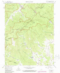
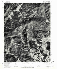
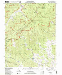
Historical Maps of Beldor Through Time
8 maps found

Featured Locations
Source Details
SourceU.S. Geological Survey
CopyrightPublic Domain