Loading...
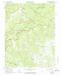
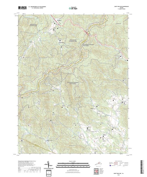
Loading map...1965 Map of Swift Run Gap
USGS Topo · Published 1983About this map
Blue Ridge terrain and the established boundaries of Shenandoah National Park dominate this mid-century landscape, where high-elevation landmarks like Swift Run Gap and Smith Roach Gap serve as critical passage points. The winding path of Skyline Drive and the Appalachian Trail trace the mountain crests, while the eastern slopes reveal a network of small mountain communities and farmsteads. Settlement patterns are clustered in the hollows and along the river valleys, with centers of local life at Bacon Hollow and Dyke.
Find a feature on this map
63 named features on this map. Tap any name to fly to it.
Don’t see what you’re looking for? This feature index may not catch every label — zoom into the map to look around manually.
Map Details
Date Portrayed1965
Date Published1983
PublisherU.S. Geological Survey
Map TypeTopographic
Scale1:24000
Physical Dimensions22.1 x 26.9 inches
Editions of this 1965 Swift Run Gap Map
2 editions found
Historical Maps of Shady Grove Through Time
4 maps found
Featured Locations
Source Details
SourceU.S. Geological Survey
CopyrightPublic Domain