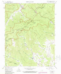
1965 Map of Swift Run Gap
USGS Topo · Published 1987About this map
Shenandoah National Park dominates the northern reaches of this territory, where the iconic Skyline Drive and Appalachian Trail trace the crest of the Blue Ridge. The map documents a landscape defined by sharp elevation shifts between the high summits of Hightop and Bush Mtn and the narrow hollows that feed the headwaters of the Lynch River and Roach River. Below the park boundary, small rural communities like Bacon Hollow, Mission Home, and Dyke are established along the winding mountain roads. Local heritage is visible in the distribution of family-named landmarks and institutions such as The Blue Ridge Sch, Mt Olivet Ch, and Evergreen Ch. These settlements rely on the network of streams including Chesley Creek and Ivy Creek, illustrating the traditional Piedmont and mountain-fringe settlement patterns prior to late-century modernization.
Find a feature on this map
74 named features on this map. Tap any name to fly to it.
Don’t see what you’re looking for? This feature index may not catch every label — zoom into the map to look around manually.
Map Details
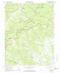
Editions of this 1965 Swift Run Gap Map
2 editions found
Other maps of this area

1892 · Gordonsville
USGS Topo · 1:125,000

1892 · Harrisonburg
USGS Topo · 1:125,000

1930 · Madison
USGS Topo · 1:48,000

1931 · University
USGS Topo · 1:62,500

1933 · Madison
USGS Topo · 1:62,500

1935 · Charlottesville
USGS Topo · 1:62,500

1935 · University
USGS Topo · 1:62,500

1937 · Elkton
USGS Topo · 1:62,500

1939 · Charlottesville
USGS Topo · 1:62,500

1949 · Charlottesville
USGS Topo · 1:250,000