1997 Map of Swift Run Gap
USGS Topo · Published 1999About this map
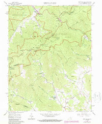
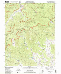
The Blue Ridge mountains dominate this late 20th-century landscape, where the high-altitude route of Skyline Drive and the Appalachian Trail wind through Shenandoah National Park. Below the ridges, the map documents a network of rural communities including Bacon Hollow, Haneytown, and Mission Home, characterized by a high density of small mountain chapels and cemeteries. Places like Beldor Ch, Gibson Chapel, and Mt Olivet Ch reflect the deep-rooted religious and social centers of Greene County. The drainage patterns of the Roach River and Brokenback Run illustrate the complex terrain that separated these hollows from the larger valley settlements. From the Simmons Gap Ranger Station to the Dyke Sch, the map provides a record of land use at the intersection of protected federal wilderness and traditional Virginia Piedmont life.
Find a feature on this map
71 named features on this map. Tap any name to fly to it.
Don’t see what you’re looking for? This feature index may not catch every label — zoom into the map to look around manually.
Map Details
Editions of this 1997 Swift Run Gap Map
This is the sole edition of this map. No revisions or reprints were ever made.
Historical Maps of Shady Grove Through Time
4 maps found