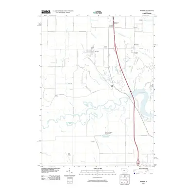
2010 Map of Swisher
USGS Topo · Published 2010About this map
The meandering Iowa River carves a broad valley through this Johnson and Linn County landscape, where the waters flow toward the expansive Coralville Lake. This environment is characterized by the convergence of several waterways, including Plum Creek, Swisher Creek, and McAllister Creek, which historically dictated the placement of early homesteads and transport routes. Settlement is concentrated in the established communities of Swisher, Shueyville, and Western, with smaller locales like Cou Falls appearing near the lake's northern reaches.
Find a feature on this map
62 named features on this map. Tap any name to fly to it.
Don’t see what you’re looking for? This feature index may not catch every label — zoom into the map to look around manually.
Map Details
Editions of this 2010 Swisher Map
This is the sole edition of this map. No revisions or reprints were ever made.
Other maps of this area

1887 · Cedar Rapids
USGS Topo · 1:62,500

1888 · Amana
USGS Topo · 1:62,500

1889 · Amana
USGS Topo · 1:62,500

1891 · Oxford
USGS Topo · 1:62,500

1891 · Cedar Rapids
USGS Topo · 1:62,500

1891 · Iowa City
USGS Topo · 1:62,500

1894 · Oxford
USGS Topo · 1:62,500

1899 · Amana
USGS Topo · 1:62,500

1903 · Fairfax
USGS Topo · 1:125,000

1938 · Iowa City
USGS Topo · 1:62,500