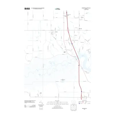
2013 Map of Swisher
USGS Topo · Published 2013About this map
The Iowa River meanders across the lower half of this landscape, its braided path creating a complex network of wetlands and oxbows north of the Swan Lake State Wildlife Area. To the east, the river feeds into the northern reaches of Coralville Lake, a major hydrologic feature that shapes the local geography. Small settlements like Swisher and Shueyville serve as central points for the surrounding agricultural community, while Western sits at a historic crossroads in the northeast corner of the quadrangle. The map reveals a transition from traditional farming to modern infrastructure, evidenced by the proximity of Green Castle Airport and the major transit corridor of Interstate 380, which passes by the Cedar Rapids North Bound Rest Area. These features, combined with named water bodies such as Wisniewski Pond and Plum Cr, provide a clear picture of the region's diverse rural and riparian character.
Find a feature on this map
96 named features on this map. Tap any name to fly to it.
Don’t see what you’re looking for? This feature index may not catch every label — zoom into the map to look around manually.
Map Details
Editions of this 2013 Swisher Map
This is the sole edition of this map. No revisions or reprints were ever made.
Other maps of this area

1887 · Cedar Rapids
USGS Topo · 1:62,500

1888 · Amana
USGS Topo · 1:62,500

1889 · Amana
USGS Topo · 1:62,500

1891 · Oxford
USGS Topo · 1:62,500

1891 · Cedar Rapids
USGS Topo · 1:62,500

1891 · Iowa City
USGS Topo · 1:62,500

1894 · Oxford
USGS Topo · 1:62,500

1899 · Amana
USGS Topo · 1:62,500

1903 · Fairfax
USGS Topo · 1:125,000

1938 · Iowa City
USGS Topo · 1:62,500