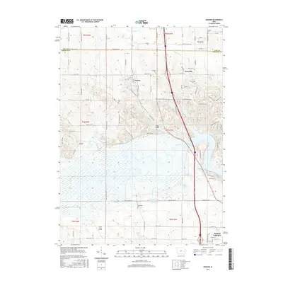
2015 Map of Swisher
USGS Topo · Published 2015About this map
Coralville Lake and the winding Iowa River dominate the southern half of this landscape, creating a complex network of wetlands and backwaters including Wisniewski Pond and Swan Lake. The northern portion transition into a grid of rural homesteads and small communities, notably Swisher and Shueyville, connected by a web of named secondary roads such as Cherry Valley Rd SW and Linn-Johnson Rd.
Find a feature on this map
100 named features on this map. Tap any name to fly to it.
Don’t see what you’re looking for? This feature index may not catch every label — zoom into the map to look around manually.
Map Details
Editions of this 2015 Swisher Map
This is the sole edition of this map. No revisions or reprints were ever made.
Other maps of this area

1887 · Cedar Rapids
USGS Topo · 1:62,500

1888 · Amana
USGS Topo · 1:62,500

1889 · Amana
USGS Topo · 1:62,500

1891 · Oxford
USGS Topo · 1:62,500

1891 · Cedar Rapids
USGS Topo · 1:62,500

1891 · Iowa City
USGS Topo · 1:62,500

1894 · Oxford
USGS Topo · 1:62,500

1899 · Amana
USGS Topo · 1:62,500

1903 · Fairfax
USGS Topo · 1:125,000

1938 · Iowa City
USGS Topo · 1:62,500