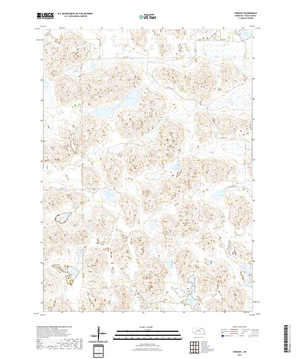
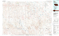
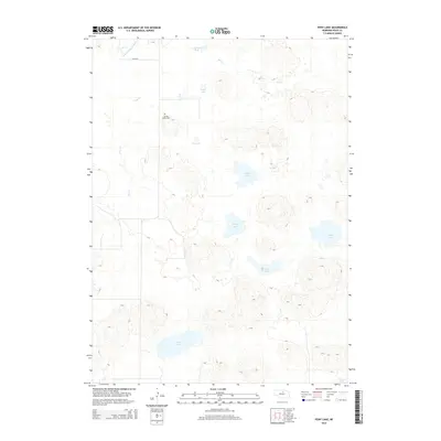
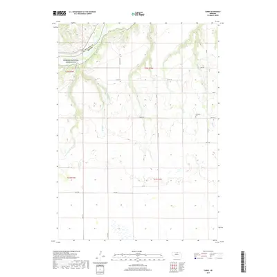
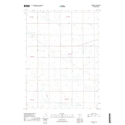
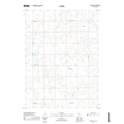
2021 Map of Sybrant
USGS Topo · Published 2021About this map
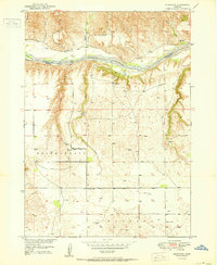
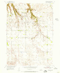
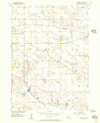
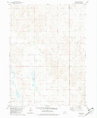
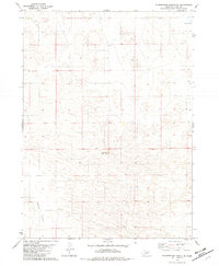
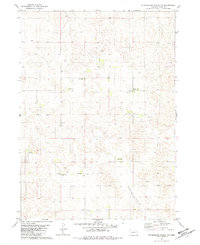
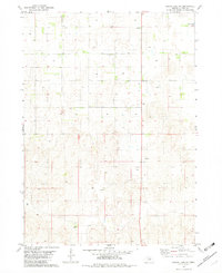
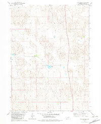
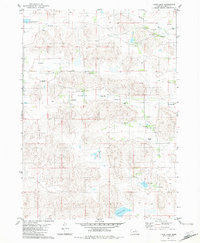
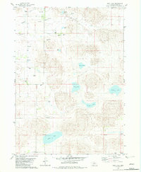
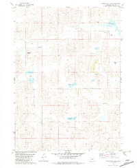
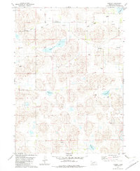
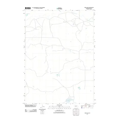
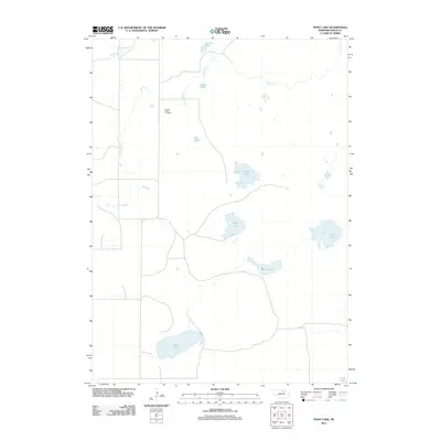
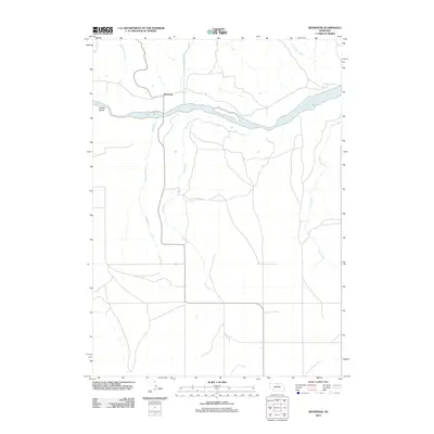
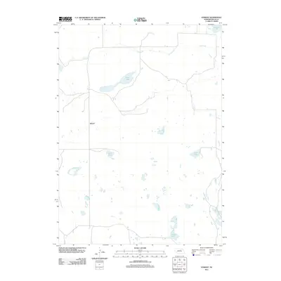
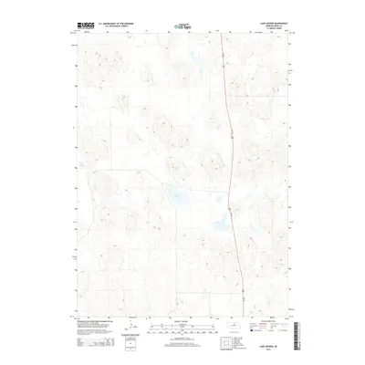
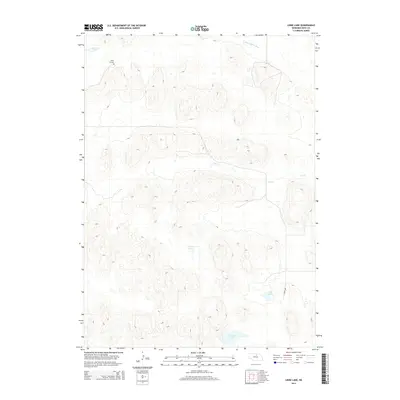
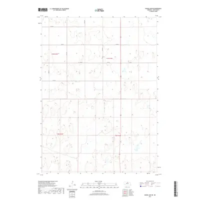
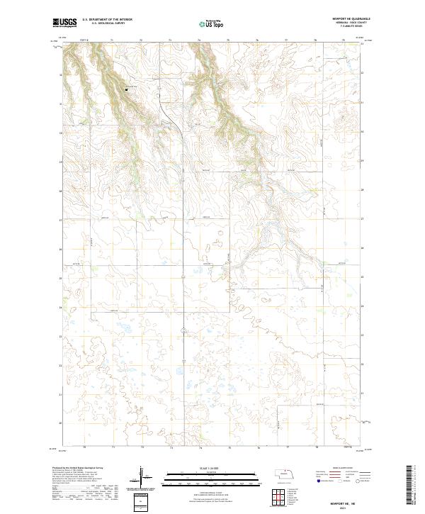
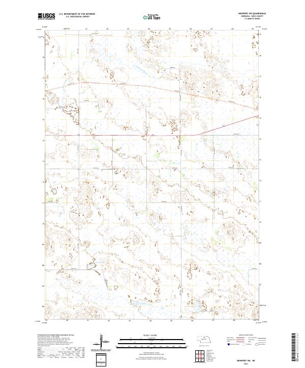
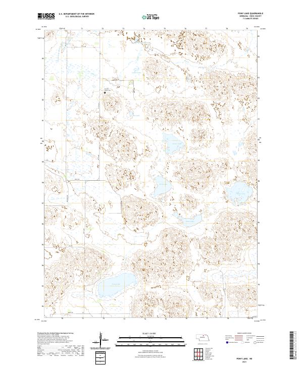
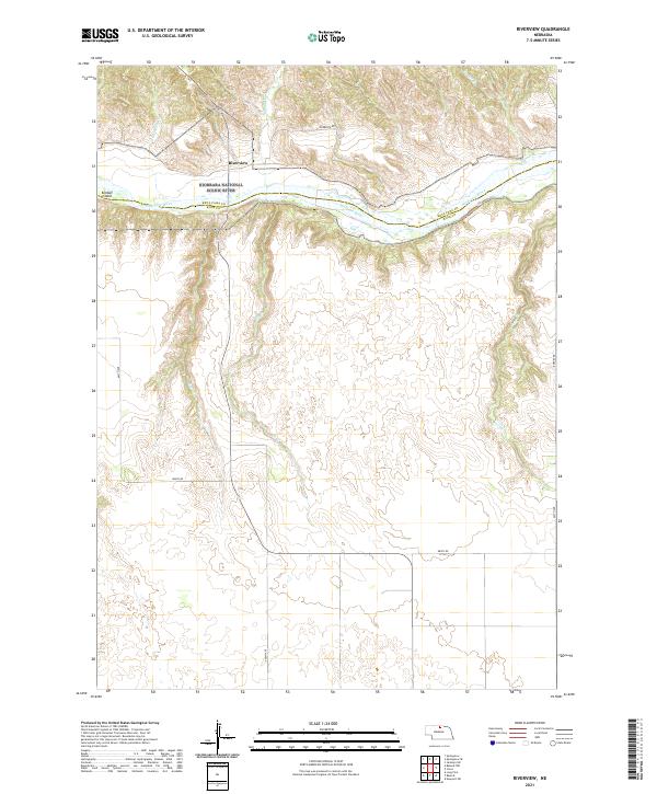
The Nebraska Sandhills dominate this landscape in Rock County, where a high concentration of natural basins and wetlands creates a specialized ranching environment. Large water bodies such as Smith Lake and Cash Lake serve as focal points in the shifting terrain, connected by seasonal drainage systems like Holt Cr. The layout of the land is dictated by the unique topography of the hills, where the section-line road grid is occasionally broken by traditional routes like Diagonal Rd. These roads, including 865th Rd and 858th Rd, provide the primary infrastructure for this sparsely populated region. Smaller water features such as Murphy Lake, Lanz Lake, and Frazier Lake further characterize the area, illustrating the importance of local hydrology to the cattle country of the early twenty-first century.
Find a feature on this map
17 named features on this map. Tap any name to fly to it.
Don’t see what you’re looking for? This feature index may not catch every label — zoom into the map to look around manually.
Map Details
Editions of this 2021 Sybrant Map
This is the sole edition of this map. No revisions or reprints were ever made.
Historical Maps of Sybrant Through Time
68 maps found
1949 Carns
Rock County, NE
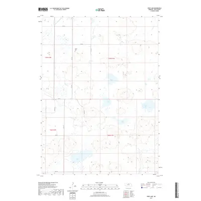
1949 Riverview
Rock County, NE
1950 Carns
Rock County, NE
1950 Riverview
Rock County, NE
1954 Newport NE
Rock County, NE
1954 Newport SW
Rock County, NE
1981 Rose
Rock County, NE
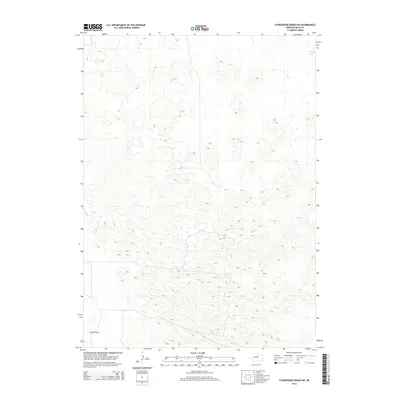
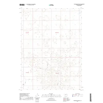
1981 Stonehouse Ranch NE
Rock County, NE
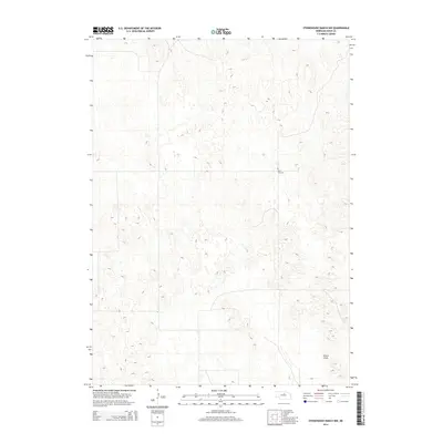
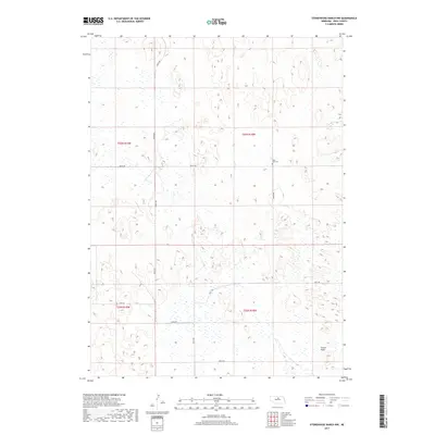
1981 Stonehouse Ranch NW
Rock County, NE
1982 Hagan Lake NE
Rock County, NE
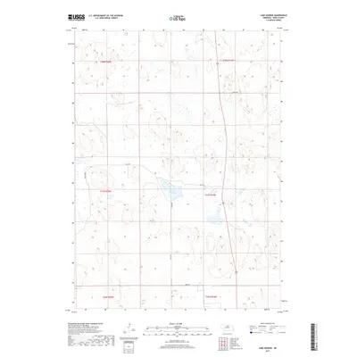
1982 Lake George
Rock County, NE
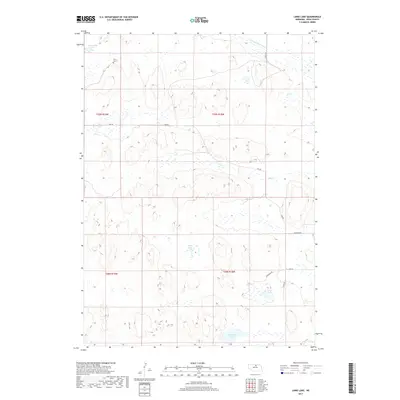
1982 Linke Lake
Rock County, NE
1982 Pony Lake
Rock County, NE
1982 Stockdale Lake
Rock County, NE
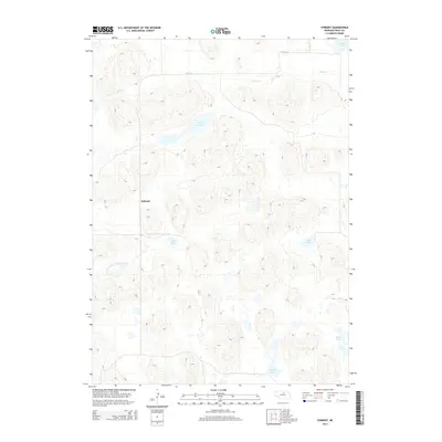
1982 Sybrant
Rock County, NE
1985 Rose
Rock County, NE
2011 Carns
Rock County, NE
2011 Hagan Lake NE
Rock County, NE
2011 Lake George
Rock County, NE
2011 Linke Lake
Rock County, NE
2011 Newport NE
Rock County, NE
2011 Newport SW
Rock County, NE
2011 Pony Lake
Rock County, NE
2011 Riverview
Rock County, NE
2011 Rose
Rock County, NE
2011 Stockdale Lake
Rock County, NE
2011 Stonehouse Ranch NE
Rock County, NE
2011 Stonehouse Ranch NW
Rock County, NE
2011 Sybrant
Rock County, NE
2014 Carns
Rock County, NE
2014 Hagan Lake NE
Rock County, NE
2014 Lake George
Rock County, NE
2014 Linke Lake
Rock County, NE
2014 Newport NE
Rock County, NE
2014 Newport SW
Rock County, NE
2014 Pony Lake
Rock County, NE
2014 Riverview
Rock County, NE
2014 Rose
Rock County, NE
2014 Stockdale Lake
Rock County, NE
2014 Stonehouse Ranch NE
Rock County, NE
2014 Stonehouse Ranch NW
Rock County, NE
2014 Sybrant
Rock County, NE
2017 Carns
Rock County, NE
2017 Hagan Lake NE
Rock County, NE
2017 Lake George
Rock County, NE
2017 Linke Lake
Rock County, NE
2017 Newport NE
Rock County, NE
2017 Newport SW
Rock County, NE
2017 Pony Lake
Rock County, NE
2017 Riverview
Rock County, NE
2017 Rose
Rock County, NE
2017 Stockdale Lake
Rock County, NE
2017 Stonehouse Ranch NE
Rock County, NE
2017 Stonehouse Ranch NW
Rock County, NE
2017 Sybrant
Rock County, NE
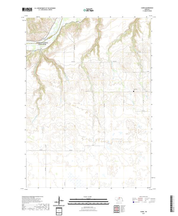
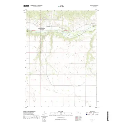
2021 Carns
Rock County, NE
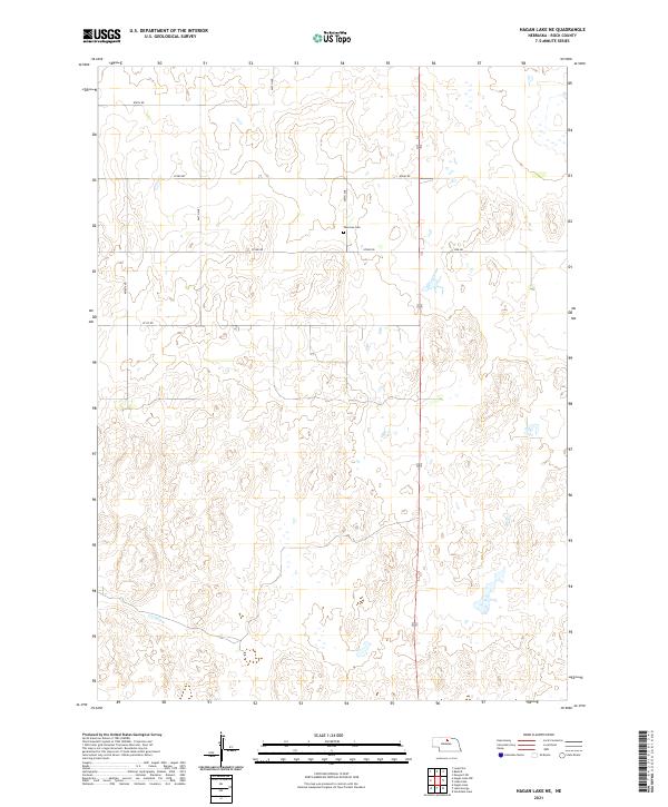
2021 Hagan Lake NE
Rock County, NE
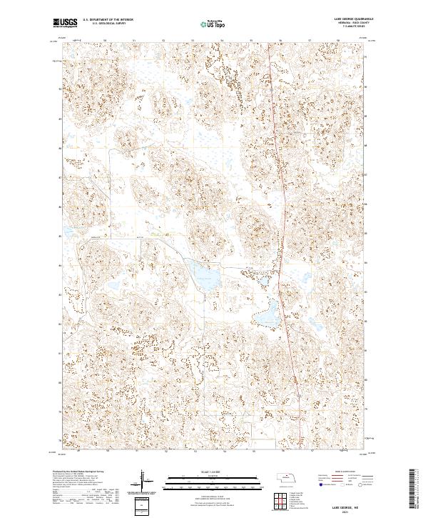
2021 Lake George
Rock County, NE
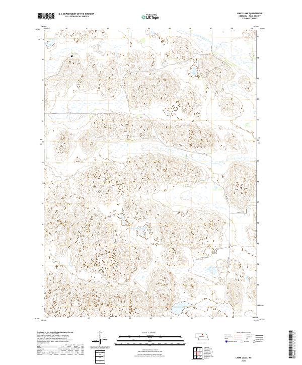
2021 Linke Lake
Rock County, NE
2021 Newport NE
Rock County, NE
2021 Newport SW
Rock County, NE
2021 Pony Lake
Rock County, NE
2021 Riverview
Rock County, NE
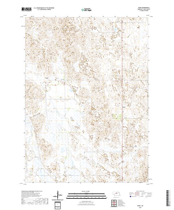
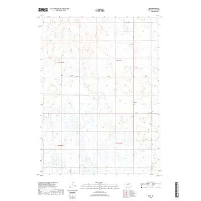
2021 Rose
Rock County, NE
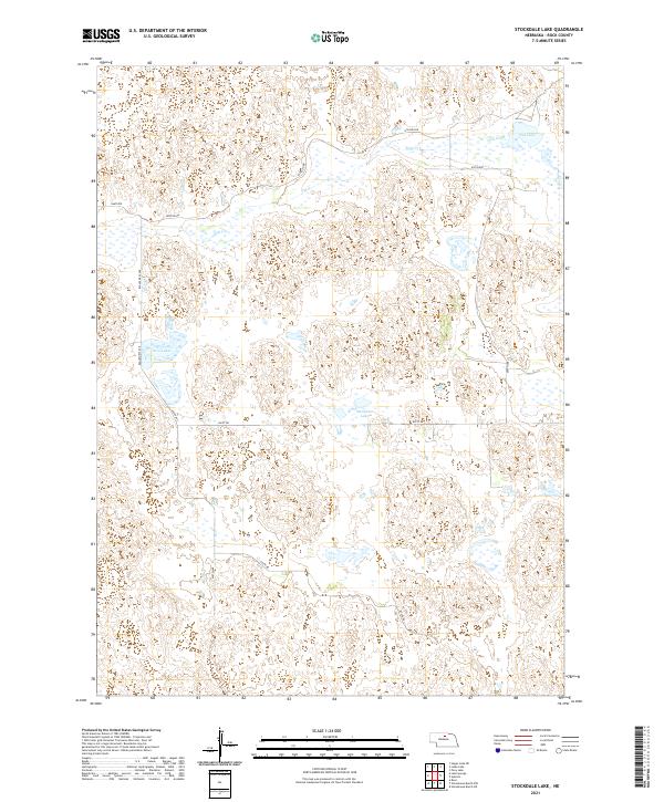
2021 Stockdale Lake
Rock County, NE
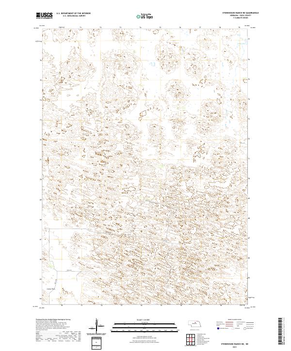
2021 Stonehouse Ranch NE
Rock County, NE
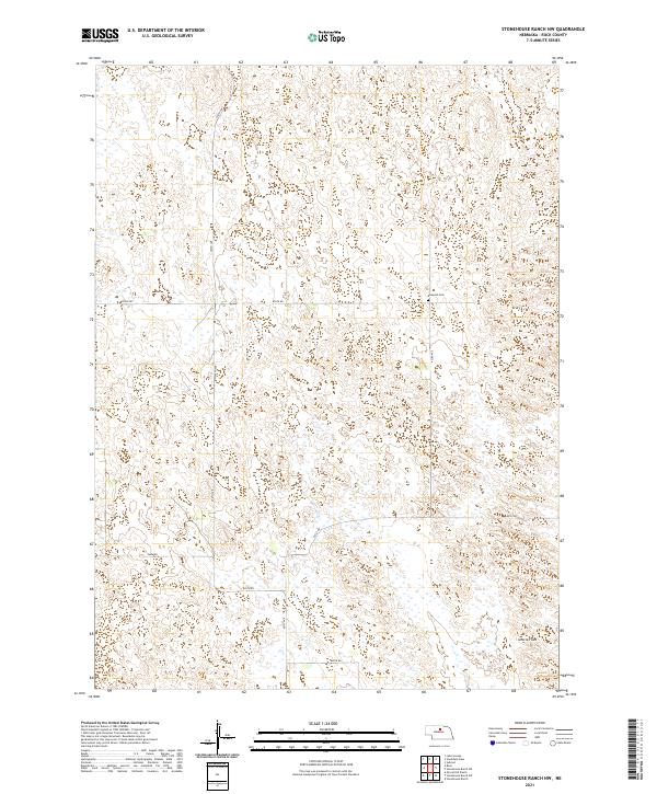
2021 Stonehouse Ranch NW
Rock County, NE
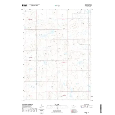
2021 Sybrant
Rock County, NE