
1982 Map of Sybrant
USGS Topo · Published 1982About this map
Sybrant anchor's this portion of Rock County, where the Sandhills landscape is defined by a high concentration of artesian activity and shallow basins. The map identifies numerous Flowing Wells and flowing wells, particularly concentrated along the drainage of Holt Creek. This abundance of surface water created a series of named wetlands and bodies such as Smith Lake, Cash Lake, and Lanz Lake, which likely served as critical watering points for local ranching operations.
Find a feature on this map
16 named features on this map. Tap any name to fly to it.
Don’t see what you’re looking for? This feature index may not catch every label — zoom into the map to look around manually.
Map Details
Editions of this 1982 Sybrant Map
This is the sole edition of this map. No revisions or reprints were ever made.
Other maps of this area

1955 · O'Neill
USGS Topo · 1:250,000

1959 · O'Neill
USGS Topo · 1:250,000

1969 · O'Neill
USGS Topo · 1:250,000

1981 · Bruner Lake
USGS Topo · 1:24,000

1981 · Stonehouse Ranch NW
USGS Topo · 1:24,000

1981 · Stonehouse Ranch NE
USGS Topo · 1:24,000
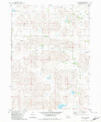
1982 · Linke Lake
USGS Topo · 1:24,000

1982 · Stockdale Lake
USGS Topo · 1:24,000

1982 · Dora Lake
USGS Topo · 1:24,000
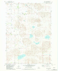
1982 · Pony Lake
USGS Topo · 1:24,000