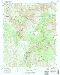
1973 Map of Sycamore Basin
USGS Topo · Published 1977About this map
Henderson Flat and the surrounding high desert terrain define this intersection of the Kaibab, Coconino, and Prescott National Forests in the early 1970s. The landscape is dominated by the deep incisions of Sycamore Canyon, where the Sycamore Canyon Wilderness protects a network of water sources including Parsons Spring and Summers Spring. Evidence of human activity is scattered throughout the backcountry, from unidentified Ruins near the canyon rim to the industrial presence of Quarries and a Quarry on the eastern slopes of Black Mtn. Cattle ranching infrastructure is highly visible through a dense system of tanks such as Deadman Tank, Lonesome Pocket Tank, and Willows Tank. Transport in this era relied on a mix of unpaved tracks like Black Mtn Road and more primitive routes like the Pack Trail winding across Packard Mesa.
Find a feature on this map
42 named features on this map. Tap any name to fly to it.
Don’t see what you’re looking for? This feature index may not catch every label — zoom into the map to look around manually.
Map Details
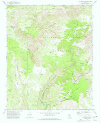
Editions of this 1973 Sycamore Basin Map
2 editions found
Other maps of this area

1886 · San Francisco Mtns
USGS Topo · 1:250,000

1886 · Chino
USGS Topo · 1:250,000

1887 · Verde
USGS Topo · 1:250,000

1887 · Prescott
USGS Topo · 1:250,000

1891 · San Francisco Mtns
USGS Topo · 1:250,000

1891 · Chino
USGS Topo · 1:250,000

1892 · Verde
USGS Topo · 1:250,000

1892 · Prescott
USGS Topo · 1:250,000

1894 · San Francisco Mtns
USGS Topo · 1:250,000

1899 · San Francisco Mtns
USGS Topo · 1:250,000