2024 Map of Sycamore
USGS Topo · Published 2024About this map
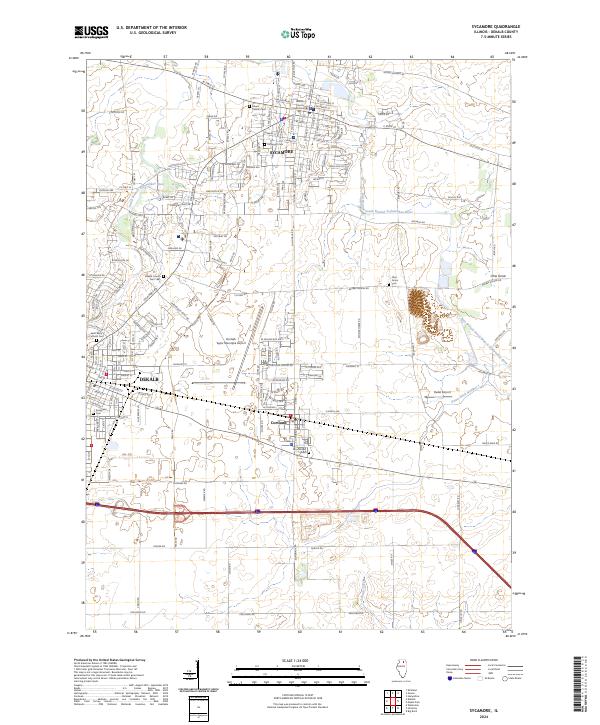
The DeKalb County Courthouse stands as a central landmark in Sycamore, the seat of DeKalb County, where a dense network of streets like W State St and N Main St defines the urban core. The landscape transitions quickly from the civic center of Sycamore into the expanding residential and industrial fringes of DeKalb to the southwest. Water drainage is a defining characteristic of this terrain, managed by the South Branch Kishwaukee River and several artificial waterways, including Union Ditch Number 1. For genealogists, the map is particularly rich with burial sites, ranging from the DeKalb County Cem 1881 and Saint Mary Catholic Cem to the smaller Ohio Grove Cem in the east. Aviation is prominent in the central corridor, anchored by the De Kalb Taylor Municipal Airport and the smaller Ruder Airport near Cortland.
Find a feature on this map
52 named features on this map. Tap any name to fly to it.
Don’t see what you’re looking for? This feature index may not catch every label — zoom into the map to look around manually.
Map Details
Editions of this 2024 Sycamore Map
This is the sole edition of this map. No revisions or reprints were ever made.
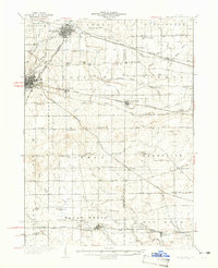
Historical Maps of Pierce Township Through Time
3 maps found

Featured Locations
- Sycamore Township, IL
- Cortland Township, IL
- Sycamore, IL
- DeKalb, DeKalb Township
- Cortland, Cortland Township