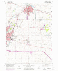
1968 Map of Sycamore
USGS Topo · Published 1977About this map
The Courthouse and City Hall stand as the civic heart of Sycamore, a landscape defined by the intersection of the Chicago and North Western railroad and the South Branch Kishwaukee River. This mid-century survey captures the region's transition as the northern suburbs of De Kalb expand toward the neighboring village of Cortland. The agricultural character of the surrounding townships—Mayfield, Sycamore, and Cortland—is punctuated by an extensive network of drainage infrastructure, such as Union Ditch No 3 and Union Ditch No 2, which transformed the prairie into productive farmland. For genealogists, the map is particularly rich in educational and religious sites, ranging from Central Sch and West Sch to local landmarks like Bethany Ch and several well-established burial grounds including Elmwood Cem and Ohio Grove Cem. The southern portion of the sheet is marked by the heavy infrastructure of the East West Tollway, contrasting with the more traditional street grids of the established town centers.
Find a feature on this map
60 named features on this map. Tap any name to fly to it.
Don’t see what you’re looking for? This feature index may not catch every label — zoom into the map to look around manually.
Map Details
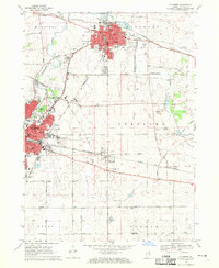
Editions of this 1968 Sycamore Map
2 editions found
Other maps of this area

1918 · Kirkland
USGS Topo · 1:62,500

1934 · De Kalb
USGS Topo · 1:62,500

1937 · De Kalb
USGS Topo · 1:62,500

1937 · Sycamore
USGS Topo · 1:62,500

1938 · Genoa
USGS Topo · 1:62,500

1954 · Rockford
USGS Topo · 1:250,000

1955 · Rockford
USGS Topo · 1:250,000

1958 · Aurora
USGS Topo · 1:250,000

1958 · Rockford
USGS Topo · 1:250,000

1961 · Aurora
USGS Topo · 1:250,000