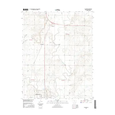
2016 Map of Sycamore
USGS Topo · Published 2016About this map
The Verdigris River snakes through the center of this Montgomery County landscape, joined by its primary tributary, the Elk River, just north of Independence. This river junction historically anchored the region's development, as evidenced by the dense road network connecting the outlying settlement of Sycamore to the county seat. The terrain is defined by low-lying floodplains and occasional elevations like Little Bear Mound, while human history is etched into the landscape at sites like Sycamore Bridge and Turner Bridge. Genealogists will find significant value in the distribution of community burial grounds, including Kroner Cem, Radical Cem, Bethel Cem, and Saint Andrews Cem, which are scattered across the various townships. Numerous creeks, such as Chateau Cr, Irish Cr, and Rebel Cr, dissect the agricultural grid, illustrating the complex drainage patterns that influenced local farmstead placement and transport routes.
Find a feature on this map
44 named features on this map. Tap any name to fly to it.
Don’t see what you’re looking for? This feature index may not catch every label — zoom into the map to look around manually.
Map Details
Editions of this 2016 Sycamore Map
This is the sole edition of this map. No revisions or reprints were ever made.
Other maps of this area

1886 · Independence
USGS Topo · 1:125,000

1894 · Independence
USGS Topo · 1:125,000

1905 · Independence
USGS Topo · 1:125,000

1947 · Joplin
USGS Topo · 1:250,000

1949 · Joplin
USGS Topo · 1:250,000

1954 · Joplin
USGS Topo · 1:250,000

1958 · Joplin
USGS Topo · 1:250,000

1959 · Joplin
USGS Topo · 1:250,000
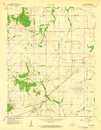
1959 · Bolton
USGS Topo · 1:24,000
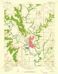
1959 · Neodesha
USGS Topo · 1:24,000