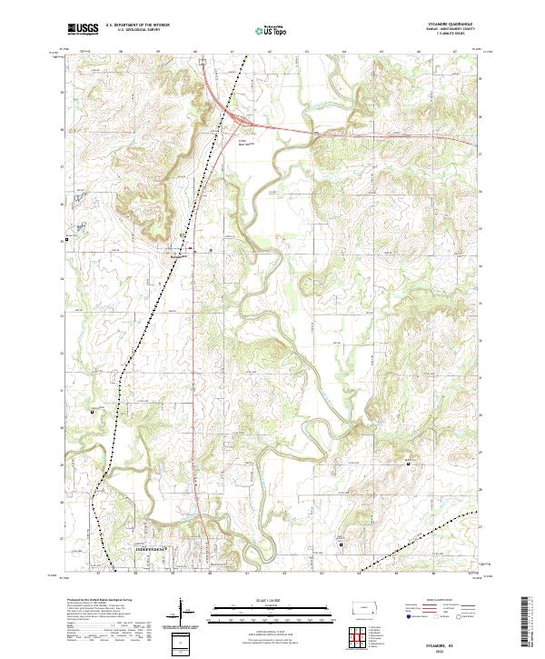
2022 Map of Sycamore
USGS Topo · Published 2022About this map
The Verdigris River and Elk River converge in this southeastern Kansas landscape, shaping the development of the small settlement at Sycamore and the northern outskirts of Independence. The terrain is punctuated by significant landmarks like Little Bear Mound, which rises above the river valleys. The rural character of the area is underscored by numerous local burying grounds that serve as vital links for genealogical research, including Krone Cem, Radical Cem, Bethel Cem, and Saint Andrew's Cem.
Find a feature on this map
65 named features on this map. Tap any name to fly to it.
Don’t see what you’re looking for? This feature index may not catch every label — zoom into the map to look around manually.
Map Details
Editions of this 2022 Sycamore Map
This is the sole edition of this map. No revisions or reprints were ever made.
Other maps of this area

1886 · Independence
USGS Topo · 1:125,000

1894 · Independence
USGS Topo · 1:125,000

1905 · Independence
USGS Topo · 1:125,000

1947 · Joplin
USGS Topo · 1:250,000

1949 · Joplin
USGS Topo · 1:250,000

1954 · Joplin
USGS Topo · 1:250,000

1958 · Joplin
USGS Topo · 1:250,000

1959 · Joplin
USGS Topo · 1:250,000
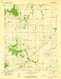
1959 · Bolton
USGS Topo · 1:24,000
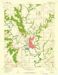
1959 · Neodesha
USGS Topo · 1:24,000