
1925 Map of Sylmar
USGS Topo · Published 1925About this map
Sylmar sits at the northern edge of the San Fernando Valley in the mid-1920s, a period defined by significant infrastructure and institutional development. The map details a landscape where the infrastructure of the City of Los Angeles meets the foothills, featuring the large Upper San Fernando Reservoir and a system of power lines maintained by the Southern California Edison Co, including a specific Power House. The presence of the Olive View Sanitarium and the San Fernando Cemetery reflects the area's role as a site for public health and civic services removed from the city center.
Find a feature on this map
18 named features on this map. Tap any name to fly to it.
Don’t see what you’re looking for? This feature index may not catch every label — zoom into the map to look around manually.
Map Details
Editions of this 1925 Sylmar Map
This is the sole edition of this map. No revisions or reprints were ever made.
Other maps of this area

1900 · Fernando
USGS Topo · 1:62,500

1901 · Southern California Sheet No. 1
USGS Topo · 1:250,000

1903 · Camulos
USGS Topo · 1:125,000

1903 · Santa Susana
USGS Topo · 1:62,500

1904 · Southern California Sheet No. 1
USGS Topo · 1:250,000
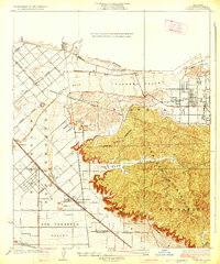
1926 · Sunland
USGS Topo · 1:24,000
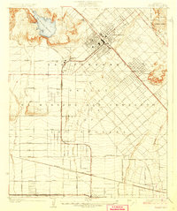
1927 · Pacoima
USGS Topo · 1:24,000
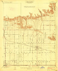
1928 · Zelzah
USGS Topo · 1:24,000

1928 · Sylmar
USGS Topo · 1:24,000
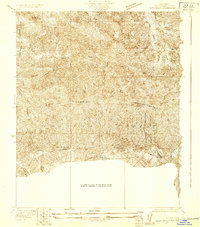
1929 · Sylmar
USGS Topo · 1:24,000