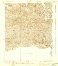
1929 Map of Sylmar
USGS Topo · Published 1929About this map
San Gabriel Mountains peaks and deep drainage canyons dominate this 1929 survey, which captures the northern edge of the Los Angeles basin during a period when the area was known for its specialized medical facilities. The map highlights a cluster of large institutions at the mountain's base, including the Olive View Sanatorium, the Government Sanatorium, and the U S Veterans Sanatorium. These locations were chosen for their elevation and air quality, essential for respiratory care at the time.
Find a feature on this map
21 named features on this map. Tap any name to fly to it.
Don’t see what you’re looking for? This feature index may not catch every label — zoom into the map to look around manually.
Map Details
Editions of this 1929 Sylmar Map
This is the sole edition of this map. No revisions or reprints were ever made.
Other maps of this area
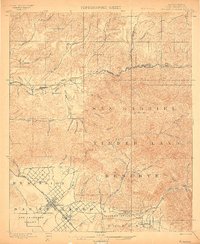
1900 · Fernando
USGS Topo · 1:62,500

1901 · Southern California Sheet No. 1
USGS Topo · 1:250,000

1903 · Camulos
USGS Topo · 1:125,000
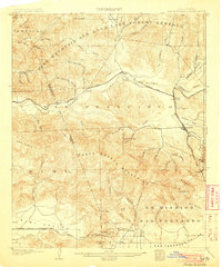
1903 · Santa Susana
USGS Topo · 1:62,500

1904 · Southern California Sheet No. 1
USGS Topo · 1:250,000
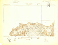
1925 · Sylmar
USGS Topo · 1:24,000
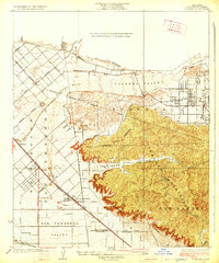
1926 · Sunland
USGS Topo · 1:24,000
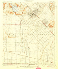
1927 · Pacoima
USGS Topo · 1:24,000
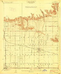
1928 · Zelzah
USGS Topo · 1:24,000
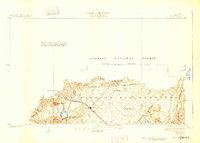
1928 · Sylmar
USGS Topo · 1:24,000