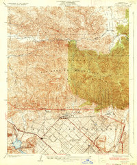
1935 Map of Sylmar
USGS Topo · Published 1935About this map
The Ex Mission San Fernando area and the foothills of the San Gabriel Mountains dominate this mid-1930s survey, showing the transition between early agricultural lands and the growing Los Angeles suburbs. The community of Sylmar is depicted at a pivotal moment, with a grid of residential and institutional streets such as Foothill Blvd, Gladstone Ave, and Astoria St extending toward the rugged canyon lands. The presence of specialized facilities like the El Retiro School for Girls, a Samatorium, and the U. S. Veterans Bureau Reservation suggests a landscape then used for secluded public services and convalescence.
Find a feature on this map
48 named features on this map. Tap any name to fly to it.
Don’t see what you’re looking for? This feature index may not catch every label — zoom into the map to look around manually.
Map Details
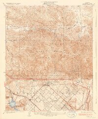
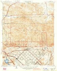
Editions of this 1935 Sylmar Map
3 editions found
Other maps of this area

1900 · Fernando
USGS Topo · 1:62,500

1901 · Southern California Sheet No. 1
USGS Topo · 1:250,000

1903 · Camulos
USGS Topo · 1:125,000

1903 · Santa Susana
USGS Topo · 1:62,500

1904 · Southern California Sheet No. 1
USGS Topo · 1:250,000

1925 · Sylmar
USGS Topo · 1:24,000
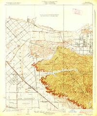
1926 · Sunland
USGS Topo · 1:24,000
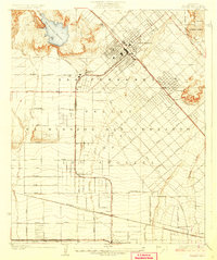
1927 · Pacoima
USGS Topo · 1:24,000
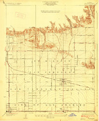
1928 · Zelzah
USGS Topo · 1:24,000

1928 · Sylmar
USGS Topo · 1:24,000