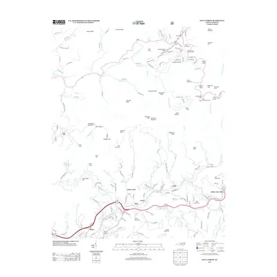
2013 Map of Sylva North
USGS Topo · Published 2013About this map
Sylva serves as the focal point of this western North Carolina survey, positioned where the lower slopes of Pump Mountain meet the drainage of Cope Cr. The map illustrates a landscape defined by high-elevation ridges and the intricate network of coves and branches that feed into Soco Cr and Scott Cr. Along the southern valley, the interconnected communities of Beta, Foster, and Addie are documented following the rail and road corridors toward Willits-Oehre Hill.
Find a feature on this map
157 named features on this map. Tap any name to fly to it.
Don’t see what you’re looking for? This feature index may not catch every label — zoom into the map to look around manually.
Map Details
Editions of this 2013 Sylva North Map
This is the sole edition of this map. No revisions or reprints were ever made.
Other maps of this area

1891 · Cowee
USGS Topo · 1:125,000

1893 · Mt Guyot
USGS Topo · 1:125,000

1897 · Cowee
USGS Topo · 1:125,000

1907 · Cowee
USGS Topo · 1:125,000

1912 · Mt Guyot
USGS Topo · 1:125,000

1933 · Bryson
USGS Topo · 1:62,500

1935 · Dellwood
USGS Topo · 1:24,000

1935 · Tuckaseigee
USGS Topo · 1:24,000

1935 · Hazelwood
USGS Topo · 1:24,000

1935 · Cullowhee
USGS Topo · 1:24,000