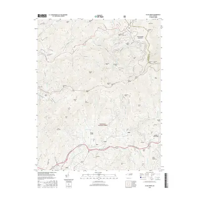
2016 Map of Sylva North
USGS Topo · Published 2016About this map
Nantahala National Forest dominates the high-elevation terrain of this North Carolina quadrangle, where the steep ridgelines of the Plott Balsams and the Great Balsam Mountains converge. The Blue Ridge Parkway winds across the eastern heights, passing significant peaks like Waterrock Knob and Browning Knob along the Jackson and Haywood county line. This 2016 survey illustrates the relationship between the protected forest wilderness and the populated valleys below, where the Great Smoky Mountains Expressway connects smaller communities.
Find a feature on this map
103 named features on this map. Tap any name to fly to it.
Don’t see what you’re looking for? This feature index may not catch every label — zoom into the map to look around manually.
Map Details
Editions of this 2016 Sylva North Map
This is the sole edition of this map. No revisions or reprints were ever made.
Other maps of this area

1891 · Cowee
USGS Topo · 1:125,000

1893 · Mt Guyot
USGS Topo · 1:125,000

1897 · Cowee
USGS Topo · 1:125,000

1907 · Cowee
USGS Topo · 1:125,000

1912 · Mt Guyot
USGS Topo · 1:125,000

1933 · Bryson
USGS Topo · 1:62,500

1935 · Dellwood
USGS Topo · 1:24,000

1935 · Tuckaseigee
USGS Topo · 1:24,000

1935 · Hazelwood
USGS Topo · 1:24,000

1935 · Cullowhee
USGS Topo · 1:24,000