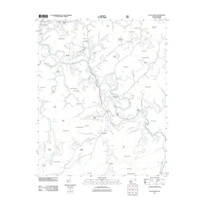
2011 Map of Sylva South
USGS Topo · Published 2011About this map
Cullowhee and the Tuckasegee River valley anchor this map, showing the concentrated development and educational infrastructure surrounding the university area and nearby Forest Hills. The landscape is a complex network of steep ridges and creek valleys, including Kings Mountain and Cullowhee Mountain, which have shaped local settlement patterns for generations. To the north, the town of Sylva and the historic community of Webster appear alongside the winding path of the Tuckasegee River. This era of the survey documents several small family and community burial grounds, such as Parris Cemetery and Love Chapel Cemetery, alongside landmarks of local industry and infrastructure like the Dillsboro Mine and the Jackson County Airport. The transition from river bottomlands to high gaps like Chestnut Gap and Soapstone Gap illustrates the persistent geographic constraints on regional transit and agriculture.
Find a feature on this map
158 named features on this map. Tap any name to fly to it.
Don’t see what you’re looking for? This feature index may not catch every label — zoom into the map to look around manually.
Map Details
Editions of this 2011 Sylva South Map
This is the sole edition of this map. No revisions or reprints were ever made.
Other maps of this area

1891 · Cowee
USGS Topo · 1:125,000

1897 · Cowee
USGS Topo · 1:125,000

1907 · Cowee
USGS Topo · 1:125,000

1933 · Bryson
USGS Topo · 1:62,500

1935 · Tuckaseigee
USGS Topo · 1:24,000

1935 · Hazelwood
USGS Topo · 1:24,000

1935 · Cullowhee
USGS Topo · 1:24,000

1935 · Addie
USGS Topo · 1:24,000

1935 · Glenville
USGS Topo · 1:24,000

1935 · Corbin Knob
USGS Topo · 1:24,000